
Oman Announces Temporary Shipping Route Through the Strait of Hormuz
Oman opens a toll‑free, temporary maritime corridor through the Strait of Hormuz to ensure safe vessel passage amid heightened security risks.
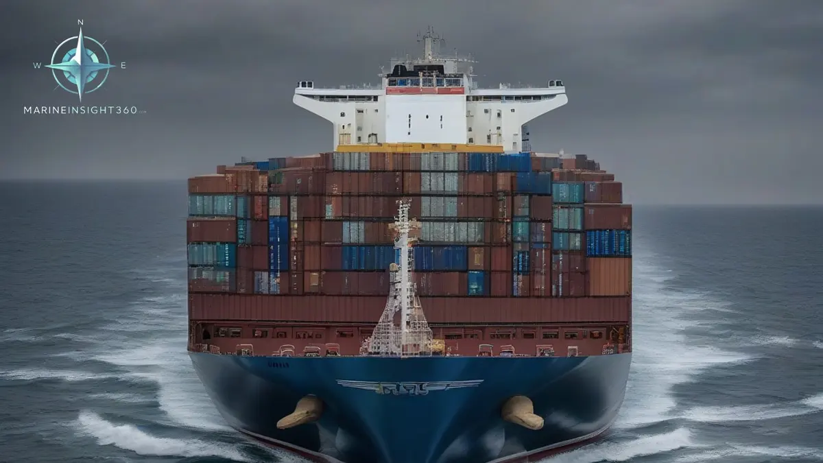
Oman has opened a temporary shipping route through the Strait of Hormuz that is toll-free and open to every vessel regardless of flag, size or cargo, with coordinates published by the IMO and Omani authorities.
Oman Announces Temporary Shipping Route Through the Strait of Hormuz
Oman has opened a temporary maritime corridor through the Strait of Hormuz to safeguard vessel passage amid heightened security risks. The move, announced on Tuesday, is intended to preserve freedom of navigation in line with international law and to provide a toll‑free path for all ships transiting the area.
What the New Corridor Means for Seafarers
The corridor is a short‑term solution that allows vessels to avoid the most dangerous sectors near Oman's Musandam coast. By following the coordinates released by the International Maritime Organization (IMO) and Omani authorities, ships can steer clear of potential blockades or military activity that has increased in recent weeks.
Key points for crews:
- Open to all vessels – The route does not discriminate by flag, size, or cargo type.
- Toll‑free – No fees are levied for using the corridor.
- Temporary status – The route will remain in effect only until security conditions change or the authorities decide otherwise.
- Coordinated with UN and IMO – The corridor follows international guidelines and has the backing of global maritime bodies.
How to Access the Temporary Route
Before setting sail, verify the latest coordinates and any operational notices. The IMO website and the Omani maritime authority’s portal are the primary sources for this information. Shipping operators should also monitor updates from the United Nations’ maritime security briefings.
Steps to follow:
- Check the IMO Marine Notice for the corridor’s latitude and longitude.
- Confirm the route’s status with the Omani maritime authority via their official communication channels.
- Update the vessel’s navigation system with the new waypoints.
- Brief the crew on the expected traffic density and any specific safety procedures.
Common Mistakes to Avoid
Even with clear instructions, some vessels may inadvertently drift outside the corridor. Common pitfalls include:
- Relying on outdated charts that do not reflect the temporary route.
- Assuming the corridor is permanent and not checking for status updates.
- Failing to notify the Omani authorities of the vessel’s entry and exit times, which can create confusion during high‑traffic periods.
Why This Development Matters
The Strait of Hormuz is a critical chokepoint for global oil transport. Recent military activity has raised concerns about potential blockades that could disrupt the flow of goods. By establishing a clear, toll‑free path, Oman is reinforcing the principle that international waters remain open for all legitimate maritime traffic.
For operators, this means:
- Reduced risk of detention or delays due to security checks.
- Clear guidance on how to navigate the area safely.
- Assurance that the corridor aligns with international maritime law.
Who the water in the strait belongs to
The Strait of Hormuz contains no high seas. The navigable channel runs through the territorial seas of Oman and Iran, and the traffic separation scheme lies on the Omani side, off the Musandam Peninsula. A corridor announced by Oman is therefore a routeing measure inside water Oman already claims.
UNCLOS gives ships the right of transit passage through straits used for international navigation, and that right cannot be suspended by the states on either shore. Iran signed UNCLOS in 1982 and has never ratified it. The United States is not a party either, and asserts the same passage rights as customary law.
What a route change does to the war-risk cover
The Gulf and the Gulf of Oman sit inside the Joint War Committee's listed areas. A vessel entering has to notify hull war underwriters in advance, and an additional premium is quoted per voyage rather than carried in the annual cover. Rates move with the reported threat, not with the line drawn on the chart.
Ships bound through the strait are also expected to report into the UKMTO voluntary reporting area, which covers the Gulf, the Gulf of Oman and the Arabian Sea. A reported position is what lets a naval response find a ship that later calls for help.
Next Steps for Seafarers, Cadets, and Shipping Professionals
1. Stay Informed – Subscribe to the IMO’s maritime alerts and the Omani maritime authority’s newsletters.
2. Update Charts – Ensure that your electronic chart display and information system (ECDIS) reflects the latest corridor data.
3. Communicate – Inform the port authorities at your destination about your intended route to avoid any misunderstandings.
4. Review Safety Protocols – Conduct a brief safety meeting to cover any new procedures related to the temporary corridor.
For deeper insights into maritime security and navigation, visit our Marine Insight 360 Knowledge Base. It offers detailed guides on route planning, international regulations, and best practices for safe passage through high‑risk waters.
Recommended Reading
IMO announces evacuation plan in the Strait of Hormuz
Key details for seafarers and shipping professionals on the IMO's coordinated evacuation plan for over 11,000 stranded crew in the Strait of Hormuz.
Gangways and Types of Gangways Used in The Shipping World
Gangways and Types of Gangways Used in The Shipping World: ports, trade and shipping-market context for US, UK, Canada, Australia, Singapore and...
ETA and ETD in Shipping: What the Dates Mean and Why They Slip
What ETA and ETD mean in shipping, who sets the dates, why they slip, and how importers should actually read an estimated arrival against free time and fees.