
Understanding Sea Miles
Learn what a sea mile is, how it differs from the nautical mile, its calculation, and why it matters for navigation today.
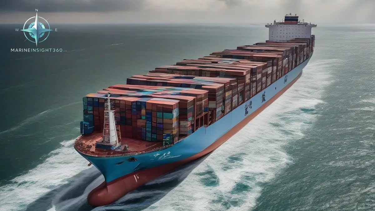
Understanding Sea Miles is the focus of this article because it connects ship operators, brokers, technical teams and vessel watchers with the wider question behind Understanding Sea Miles.
What a Sea Mile Actually Means
Answer: A sea mile is the distance covered by one minute of latitude—1⁄60 of a degree—measured along the meridian at the vessel’s current latitude, which works out to roughly 1,852 metres (1.15 statute miles). This definition ties the unit to Earth’s geometry rather than a fixed metric value.
The concept originates from the way early mariners related angular measurements on the globe to linear distance. Because the Earth is not a perfect sphere, the exact ground length of a minute of latitude changes slightly with latitude, but for most navigation tasks the variation is negligible.
How a Sea Mile Is Defined and Measured on Charts
The Canadian Hydrographic Service’s Chart 1 (2022) defines a sea mile as “the length of one minute of arc, measured along the meridian, in the latitude of the position.” To use this definition on a paper chart, follow these steps:
- Locate your current latitude on the chart.
- Count one minute of arc (1⁄60 of a degree) along the meridian line.
- The linear distance between the two points is one sea mile.
Near the equator a minute of latitude equals about 1,852 metres; at higher latitudes the distance shortens marginally because the meridians converge. This latitude‑dependent length is why the sea mile is a geometric, not a purely metric, unit.
Sea Mile vs. Nautical Mile vs. Statute Mile: Key Differences
Nautical mile is a globally agreed‑upon length of exactly 1,852 metres (6,076 feet). It is the standard unit for speed (knots) and distance in all modern navigation and charting systems.
Sea mile varies with latitude because it is derived from a minute of arc. In most practical contexts it is treated as equivalent to the nautical mile, but the subtle variation can affect high‑precision calculations such as scientific surveys or polar passages.
Statute mile is a land‑based unit of 1,609 metres (5,280 feet). Confusing statute miles with sea or nautical miles can lead to fuel‑consumption errors, speed‑conversion mistakes, and incorrect course plotting.
When the Sea Mile Still Appears in Navigation Workflows
Although electronic chart displays and autopilot systems default to nautical miles, the sea mile can surface in three typical scenarios:
- Speed conversion tables that still list “sea miles per hour” alongside knots.
- Latitude‑based distance checks on paper charts where a navigator measures a minute of latitude directly with a ruler.
- Legacy manuals and academic texts that discuss the historical evolution of maritime measurement.
In each case the sea mile acts as a conceptual bridge between geometry and the fixed nautical mile, allowing mariners to verify calculations without relying solely on digital tools. When deciding whether to keep a sea‑mile reference, weigh the need for historical accuracy against the simplicity of converting everything to nautical miles.
Common Mistakes and How to Avoid Them
Mariners frequently mix up sea miles with other distance units, creating navigation errors. The most common pitfalls are:
- Mixing statute miles with sea miles when converting fuel‑consumption rates. Always confirm the unit before applying a conversion factor.
- Assuming a sea mile is always exactly 1,852 metres regardless of latitude. For most operations the difference is negligible, but scientific surveys or high‑latitude passages can see a few‑metre discrepancy.
- Relying on outdated chart legends that label a scale bar in “sea miles” without clarifying the underlying assumption. Cross‑check the legend with the current nautical‑mile standard.
Mitigation strategies include keeping a reference conversion chart handy, double‑checking unit labels on paper charts, and using electronic navigation aids that default to nautical miles.
Practical Tips for Interpreting Legacy Charts and Manuals
If you encounter a sea‑mile reference in an older chart or textbook, follow this workflow:
- Identify the latitude at which the measurement is taken.
- Calculate the approximate length of a minute of latitude at that latitude (≈1,852 metres near the equator, slightly less toward the poles).
- Use the resulting figure as the “sea‑mile” length for any subsequent distance or speed conversion.
- Whenever possible, replace the sea‑mile value with the standard nautical mile to maintain consistency across all navigation systems.
These actions ensure that legacy data does not compromise modern voyage planning or safety assessments.
Why Understanding the Sea Mile Still Matters
Even though the nautical mile is the universal standard, grasping the sea‑mile concept helps seafarers decode historic documents, verify manual calculations, and communicate precisely with colleagues who may still reference the term in academic or regulatory contexts. It also provides a useful sanity check when using paper charts or legacy software.
For deeper guidance on unit conversion and best practices, see the Marine Insight 360 Knowledge Base article “Navigation Units: Nautical vs. Statute vs. Sea Miles.”
Next Steps
Visit the Marine Insight 360 Knowledge Base to review conversion tables, explore case studies, and download printable reference sheets. Applying the sea‑mile concept correctly will improve accuracy in voyage planning, fuel budgeting, and compliance reporting.
For related vessel data and maritime context, continue with the vessel tracking hub.
Recommended Reading
HMS Hood: The Mighty Hood, Her Three Minutes, and the Wreck Two Miles Down
HMS Hood was the Royal Navy's pride for twenty years, lost to Bismarck in minutes in 1941 with 1,415 men. Her story, the battle, and the wreck found in 2001.
What Is The Length Of Suez Canal In Miles? Briefly Explained
The Suez Canal is the world's longest canal without locks, connecting the Mediterranean and the Red Sea via the Isthmus of Suez. Various European factions…
Why Nautical Miles and Knots Rule the Seas
Why Nautical Miles and Knots Rule the Seas: technology, equipment and fleet context for US, UK, Canada, Australia, Singapore and European maritime readers.