
Do You Know How Deep Is The Ocean?
water covers about 71% of the Earth's surface. That liquid takes up more than 332,519,000 cubic miles of that total surface, or 1,386,000,000 cubic…
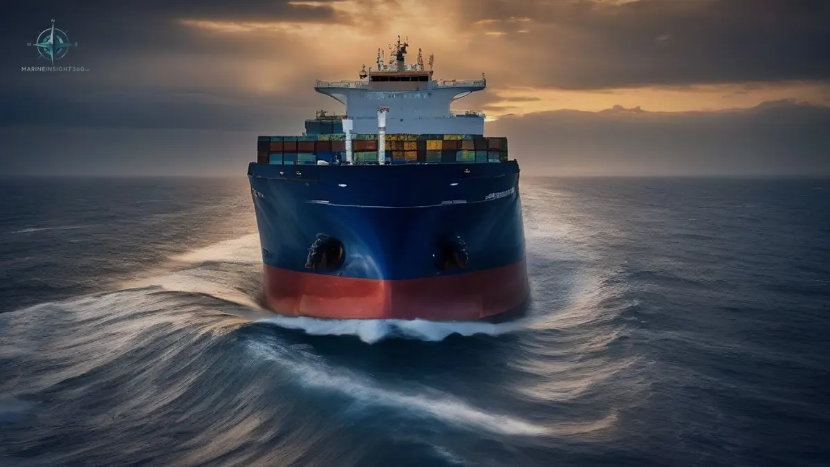
Know the Depth of the Ocean: Numbers That Shape Shipping
The ocean averages 12,785 feet (3,897 meters) deep, yet its deepest point, the Mariana Trench, plunges to 35,843 feet (10,925 meters). These figures matter for navigation, port design, and crew safety.
Global Ocean Volume and Surface Coverage
Water covers 71 % of Earth’s surface, filling more than 332,519,000 cubic miles (1,386,000,000 cubic kilometers). The National Oceanic and Atmospheric Administration (NOAA) notes that this volume could fill about 352,670,000,000,000,000,000 gallon milk containers. While the number is a fun illustration, the sheer volume underscores why accurate depth data is essential for maritime planning.
Average Depth and Its Practical Meaning
Scientists have calculated an average ocean depth of 12,785 feet (3,897 meters). This figure is derived from sonar, radar, and satellite surveys. For vessels, the average depth is far greater than the draft of any commercial ship, but it sets the baseline for how deep a port can safely accommodate a vessel. When a port’s depth is measured against this average, planners can gauge whether dredging is required for larger ships.
Deepest Points by Ocean
Pacific Ocean – Mariana Trench
The Mariana Trench’s Challenger Deep reaches 35,843 feet (10,925 meters). It is deeper than Mount Everest’s summit (29,026 feet). This depth is the result of tectonic plate subduction, creating a steep undersea rift.
Atlantic Ocean – Puerto Rico Trench
The Puerto Rico Trench, also called the Milwaukee Abyss, is 8,408 meters (27,585 feet) deep, making it the deepest point in the Atlantic.
Indian Ocean – Java Trench
Part of the Java Trench reaches 23,917 feet (7,290 meters). The exact location remains unnamed but is the deepest in the Indian Ocean.
Arctic Ocean – Molloy Hole
Molloy Hole is 18,599 feet (5,669 meters) below sea level, the deepest known point in the Arctic.
Southern Ocean – South Sandwich Trench
The South Sandwich Trench reaches 7,385 meters (24,229 feet) and surrounds Antarctica.
Measuring Depth: Techniques and Trade‑offs
- Sonar mapping uses sound waves to detect seafloor features. It offers high resolution but requires time‑consuming surveys, especially in deep water.
- Deep‑sea submersibles carry pressure‑resistant depth gauges. They provide direct measurements but are costly and limited to small areas.
- Satellite altimetry measures surface height variations to infer depth indirectly. It covers large areas quickly but is less precise in very deep trenches.
Choosing a method depends on the mission: detailed mapping of a new shipping lane may justify a submersible dive, while a routine port survey can rely on sonar.
Operational Impact for Vessels and Ports
Depth data informs several critical decisions:
- Draft limits – Knowing the exact depth of a channel prevents a vessel from running aground.
- Dredging schedules – Ports use depth maps to plan when and where to remove sediment.
- Ballast management – Accurate depth profiles help crews adjust ballast to maintain safe under‑water clearance.
- Emergency response – In case of a grounding, depth charts guide salvage operations.
Errors in depth measurement can lead to costly delays, hull damage, or environmental incidents. A common mistake is assuming uniform depth across a channel; local variations can be significant.
Beyond Numbers: Ecosystems and Conservation
Exploring the deepest parts of the ocean reveals unique ecosystems, such as hydrothermal vent communities that thrive without sunlight. These discoveries expand our understanding of biodiversity and resilience, offering insights that can influence marine conservation policies and sustainable shipping practices.
Why This Matters to Shipping Professionals
Accurate depth knowledge is not just academic; it directly affects route planning, vessel design, port infrastructure, and environmental stewardship. By staying informed about the latest depth data and measurement techniques, seafarers, cadets, and shipping managers can make safer, more efficient decisions.
Next Step
For detailed guidance on conducting depth surveys and interpreting results, consult Marine Insight 360’s Marine Machinery section or reach out to the Shipboard Operations team for best‑practice advice.
Operational context
In daily maritime work, know should be compared with vessel type, flag requirements, company procedures, port expectations, cargo risk and crew competence. The same topic can look different on a container ship, bulk carrier, tanker, offshore vessel, training ship or shore-side logistics desk.
That is why this article avoids treating the subject as a standalone headline. It connects the issue with the checks that ship operators, brokers, technical teams and vessel watchers can use when reading a report, preparing for a voyage, reviewing a procedure or planning a career step.
For related vessel data and maritime context, continue with the vessel tracking hub.
Source and verification
This report is based on information published by marineinsight360.com. Claims attributed to military or government parties remain claims unless independently confirmed.