
National Oceanic and Atmospheric Administration: What NOAA Means for Mariners
What the National Oceanic and Atmospheric Administration provides working mariners: electronic charts, marine forecasts, tide data and real-time observations.
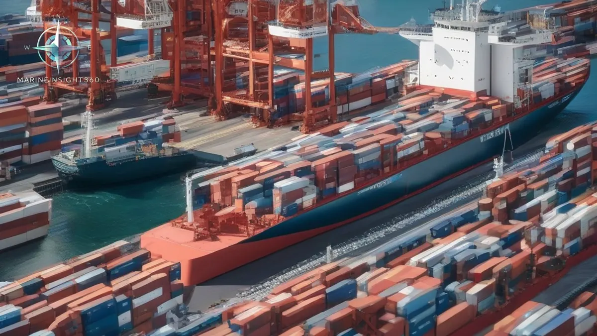
National Oceanic And Atmospheric Administration is the focus of this article because it connects ship operators, masters, safety officers and compliance teams with the wider question behind National Oceanic and Atmospheric Administration: What NOAA Means for Mariners.
What NOAA Means for Mariners on the Bridge
NOAA is the single U.S. agency that supplies the charts, weather forecasts, tide and current data that crews rely on in U.S. waters. For a mariner it functions as the hydrographic office, marine forecaster and water‑level network operator all in one. That combination is rare; in most tier‑1 markets these services are split between separate bodies.
NOAA’s Three Core Services
NOAA’s operations that matter most on a bridge are grouped into three components:
- Office of Coast Survey (OCS) – produces electronic navigational charts (ENC) and conducts hydrographic surveys.
- National Weather Service (NWS) – issues coastal, offshore and high‑seas marine forecasts and warnings.
- Center for Operational Oceanographic Products and Services (COOPS) – runs the water‑level and current observation network used for under‑keel clearance and berthing decisions.
In addition, NOAA Fisheries and the National Marine Sanctuaries programme set vessel speed limits, protected‑species measures and sanctuary restrictions that affect commercial routing near the U.S. coast.
Electronic Navigational Charts: The New Standard
NOAA has produced charts for almost two centuries and introduced electronic charts in the early 1990s. ENC coverage now spans roughly 95,000 miles of shoreline and 3.4 million square nautical miles of water, including the Great Lakes. ENC is the primary chart product for large commercial vessels using ECDIS, which meets SOLAS chart‑carriage requirements. The same data also feeds simpler plotters used on smaller craft.
Because NOAA is moving away from paper charts, a passage plan built around a familiar paper sheet number should be cross‑checked against the current ENC edition. Relying on an outdated paper chart can leave a vessel without the most recent hydrographic updates.
Marine Forecasts: Knowing Which Product to Pull
The NWS divides responsibility by distance from the coast:
- Coastal waters – up to about 60 nm from shore, issued by local forecast offices.
- Offshore waters – beyond the coastal zone out to the edge of the U.S. Exclusive Economic Zone (~250 nm).
- High seas – the North Atlantic and North Pacific, handled by the Ocean Prediction Center; tropical waters are covered by the Tropical Analysis and Forecast Branch.
For an ocean passage, the high‑seas text, surface analysis and wind and wave charts are the products that drive routing decisions. Coastal forecasts are too short‑range to plan a diversion around a developing low.
Real‑Time Port‑Approach Data: Prediction vs. Observation
NOAA operates a network of water‑level stations, current meters and meteorological sensors. The live readings from these stations are what pilots and masters use to time tight tidal windows. NOAA also publishes nowCOAST , a map‑based service that gives point‑and‑click access to observations and short‑range coastal forecasts across dozens of NOAA products in one place.
A practical habit is to compare the predicted tide with the observed water level before committing to a marginal under‑keel clearance. Sustained wind and barometric pressure can push actual levels well away from prediction, so the observed station provides a near‑real‑time correction.
What NOAA Does Not Do
NOAA is not the U.S. maritime regulator. It does not issue mariner credentials, inspect ships, investigate commercial vessel casualties or conduct search and rescue. Those functions belong to the U.S. Coast Guard, with the National Transportation Safety Board involved in major casualties. Confusing NOAA with the Coast Guard can cost time when a report must be filed to the correct authority within a deadline.
Comparing NOAA to Other Tier‑1 Markets
Officers trading globally encounter several national offices performing NOAA’s jobs under different names:
- United Kingdom – United Kingdom Hydrographic Office publishes Admiralty charts; the Met Office issues marine forecasts.
- Canada – Canadian Hydrographic Service and Environment Canada split the work.
- Australia – Australian Hydrographic Office and the Bureau of Meteorology provide the equivalent services.
Chart datums, warning terminology and gale criteria are not identical between these agencies, which can lead to misread forecasts on a first U.S. voyage.
Using NOAA Data Effectively
To build a reliable passage plan:
- Use the current ENC edition and confirm any recent chart updates before departure.
- Pull the forecast tier that matches the leg of the voyage, not the one nearest to hand.
- Check observed water levels against predicted values on arrival day.
For a deeper explain ECDIS passage planning and chart update routines, see the Navigation and Seamanship section of Marine Insight 360.
Where to Find Real‑Time and Forecast Coastal Conditions
NOAA’s nowCOAST portal and the NWS Marine Weather Services pages are the primary sources for up‑to‑date coastal conditions. For chart updates, consult the Office of Coast Survey and NOAA Nautical Charts pages.
Next Steps for Mariners and Cadets
1. Familiarise yourself with NOAA ENC and the nowCOAST interface. 2. Practice pulling the correct forecast tier for each leg of a voyage. 3. Verify observed water levels against predictions before entering a marginal under‑keel window. 4. Review the Marine Insight 360 Navigation and Seamanship guide for detailed ECDIS workflow.
Why This Matters to the Shipping Industry
Accurate charting, forecasting and real‑time observations are the backbone of safe navigation in U.S. waters. Understanding NOAA’s integrated role saves time, reduces the risk of misinterpretation, and ensures compliance with U.S. maritime regulations.
For related compliance and onboard procedure topics, continue with the shipboard operations knowledge base.
Recommended Reading
Understanding Oceanic Ridges
Learn what an oceanic ridge is, how it forms, its global extent, and why it matters to seafarers, offshore engineers and cable planners.
Angle of Loll: The Tilt That Means a Ship Has Lost Its Stability
What the angle of loll is, how it differs from a list, why a ship with negative stability flops to one side, and the exact order of actions that corrects it.

8 Ship Incinerator Problems Mariners Should Know
8 Ship Incinerator Problems Mariners Should Know: regulatory and compliance context for US, UK, Canada, Australia, Singapore and European maritime readers.