
What Is a Nautical Course? True, Magnetic and Compass Explained
A nautical course is the intended direction of travel in three-figure degrees. How true, magnetic and compass courses convert, and where errors creep in.
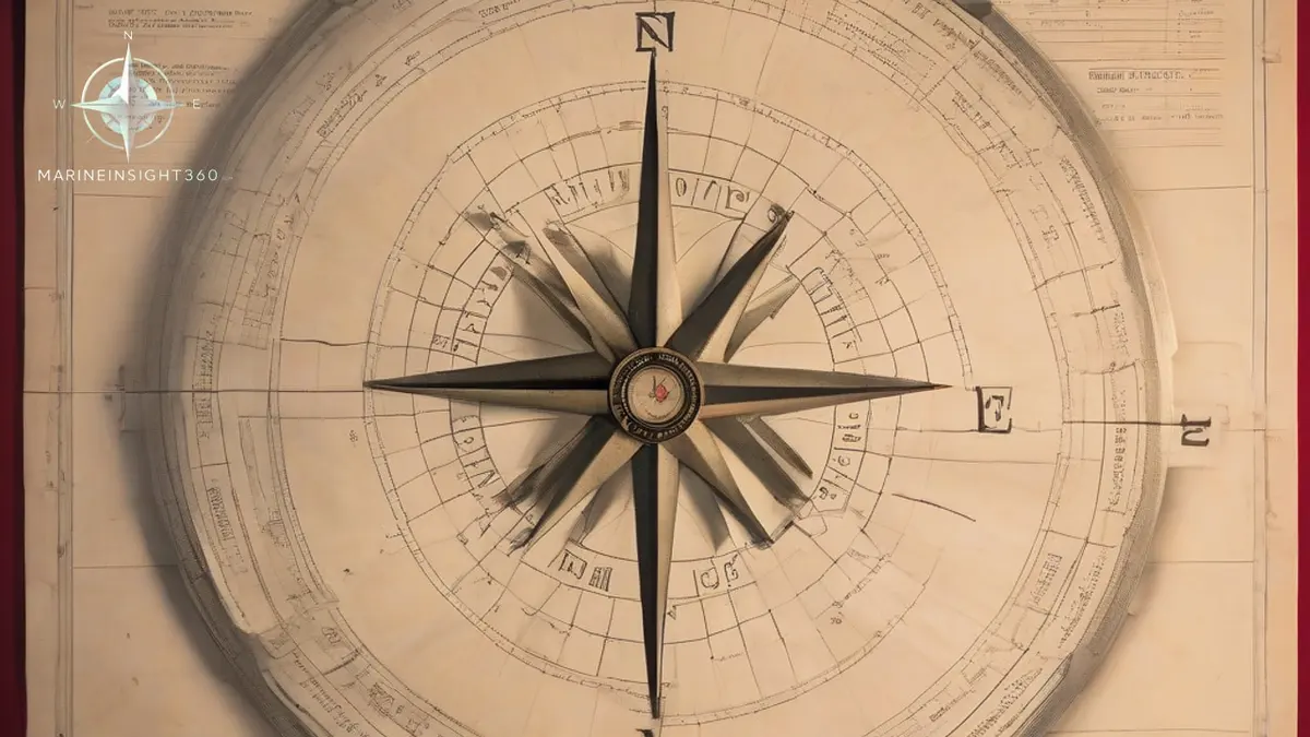
A nautical course is the intended direction of travel of a vessel, measured clockwise in three-figure degrees from a north reference. Course 000 is north, 090 is east, 180 is south and 270 is west. Which north you measure from decides what kind of course it is: true from geographic north, magnetic from magnetic north, and compass from the north your own compass shows. So what is nautical course conversion for?
Getting cleanly from the compass in front of you to the line drawn on the chart. MCA and USCG examiners still test that arithmetic by hand, and ECDIS has not removed the need for it.
Getting those three straight, and converting cleanly between them, is the whole of basic direction work at sea. Everything else in coastal navigation builds on it.
Course, heading, track and bearing are four different things
These terms get used loosely in conversation and precisely in a logbook, and confusing them causes real errors.
- Course: the direction you intend to travel, drawn on the chart as the planned line.
- Heading: the direction the bow is actually pointing at this instant. In wind or current it is not the same as the course.
- Track or course made good: the direction actually achieved over the ground, which is what a GPS course over ground displays.
- Bearing: the direction of some other object from the ship, used for fixing position rather than steering.
The gap between them is the working part of the job. Set and drift from current, and leeway from wind, are what force the course to steer to differ from the course laid on the chart.
True, magnetic and compass course
Courses drawn on a navigational chart are laid down as true courses, referenced to geographic north. That is the reference the chart projection uses, and the one every published position is stated in.
A magnetic compass, though, does not point at geographic north. Two separate errors intervene.
- Variation: the angle between geographic north and magnetic north at your position. It depends on where the ship is and changes slowly with time as the Earth magnetic field shifts. It has nothing to do with the ship itself, and it is printed on the compass rose of paper charts with an annual rate of change.
- Deviation: the error caused by ferrous metal and electrical equipment in the ship, which deflects the compass card. It is unique to each vessel and changes with the ship heading, which is why it is tabulated in a deviation card rather than given as a single number.
The relationship is straightforward: true course equals compass course plus variation plus deviation, with easterly errors taken as positive and westerly errors as negative. Working from the chart to the helm order, you reverse the signs. Generations of watchkeepers have used mnemonics for the sequence, and the point of every one of them is simply to stop the signs being reversed under pressure.
Working an example correctly
Suppose the chart course is 045 true, the variation at that position is 4 degrees west, and the deviation card gives 2 degrees east on that heading.
- Converting true to magnetic: remove the variation. 045 true with 4 west variation gives 049 magnetic.
- Converting magnetic to compass: remove the deviation. 049 magnetic with 2 east deviation gives 047 compass.
- The helm order is 047 by the magnetic compass, and the logbook records the course in the form actually used.
The recurring mistake is applying deviation using the wrong entry in the card. Deviation is a function of the ship heading, so use the deviation for the heading you will actually steer, not the one you were on when you started the calculation.
Gyro compasses and why the magnetic compass stays
Most merchant ships steer by gyro compass, which seeks true north mechanically and is unaffected by the ship magnetism. A gyro still carries a gyro error, usually small and roughly constant, which is checked regularly by azimuth of a celestial body or by transit bearings and applied to gyro readings the same way variation is applied to magnetic ones.
The magnetic compass remains mandatory because it needs no power. SOLAS Chapter V requires ships to carry a properly adjusted standard magnetic compass with a means of taking bearings, and a deviation table produced by a qualified compass adjuster. After significant steel work, a long lay-up, a heavy lightning strike or carriage of a strongly magnetic cargo, the compass needs re-swinging and a new table.
Where course errors actually come from now
With electronic charts and GPS, the dominant risk has shifted. Position is rarely the problem. The problems are procedural.
- Autopilot set to a course that was never cross-checked against the passage plan after a waypoint change.
- Course over ground read as heading, which hides a large set that is quietly carrying the ship off the planned track.
- Gyro error not checked on a passage where every bearing and every ARPA vector then inherits the same offset.
- Deviation card out of date after structural work, so the emergency fallback compass is not trustworthy at the moment it is needed.
The counter to all four is old practice: compare gyro, magnetic and GPS course at every watch change and log the comparison. Three independent references disagreeing is information. One reference agreeing with itself is not.
For chartwork practice, position fixing methods and passage planning, see the navigation entries in the Marine Insight 360 Knowledge Base.
The document that fails most often is the deviation card. Port state control officers check that a ship carries a compass deviation table produced by a qualified adjuster, and an absent or clearly obsolete table is written up as a deficiency. Steel work, a long lay-up or a heavy lightning strike invalidates it, and the swing is easy to defer until an inspection forces it.
Grounding investigations by the MAIB and the NTSB keep returning to the same root causes on the direction side of the work. An autopilot left in a mode the watchkeeper had not confirmed. A gyro error last checked days earlier, quietly offsetting every bearing and every ARPA vector. A course altered at a waypoint without anyone comparing it against the passage plan.
Sources and further reading
What to read next
Recommended Reading

What Is a Lubber Line? The Compass Mark That Keeps a Ship on Course
A lubber line is the fixed mark on a compass aligned with the ship's centerline. It shows heading, sets relative bearings, and misalignment causes error.
What Is the Lubber Line in a Magnetic Compass?
The lubber line is the fixed mark on a compass bowl aligned with the ship's head. How it gives heading, why misalignment hides as error, and how to check it.
Magnetic Compass Maintenance: Daily Checks, Adjustment Intervals and the Deviation Card
Practical magnetic compass maintenance for watchkeepers: daily error checks, bubble and gimbal care, adjustment triggers, deviation cards and PSC records.