
When Was America Discovered? The Sea Voyages That Reached It First
America was reached by sea around AD 1000 by Norse crews and in 1492 by Columbus. The ships, navigation and wind systems behind both crossings.
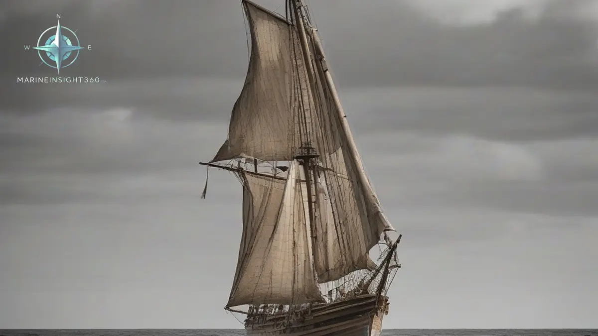
When was America discovered by a seagoing expedition from Europe? There are two defensible answers: around the year 1000, when Norse crews from Greenland reached the coast of what is now Newfoundland, and 12 October 1492, when Christopher Columbus made landfall in the Bahamas. Neither was a discovery in the plain sense. People had been living across the Americas for many thousands of years, having arrived from Asia across the Bering land bridge long before either voyage.
What both dates actually mark is a solved navigation problem: how to cross an ocean and get back.
For a working mariner, that is the interesting part. The Atlantic did not become passable because someone was brave. It became passable because two different traditions worked out how to hold a course out of sight of land, and how to use the prevailing wind systems in both directions.
The Norse crossing: island hopping to Newfoundland
The Norse route to North America was not a single leap. It ran in stages, from Norway to the Faroes, to Iceland, to the Greenland settlements, and only then across the Davis Strait to Baffin Island and south along the Labrador coast. Each leg was short enough that landfall could be found by holding a latitude and running down it.
The archaeological proof sits at L'Anse aux Meadows, on the northern tip of Newfoundland. A Norse settlement was identified there in 1960 by the Norwegian explorer Helge Ingstad and the archaeologist Anne Stine Ingstad, and radiocarbon dating placed it around the year 1000. Wood from the site has since been dated to the year 1021 using a cosmic ray event recorded in tree rings worldwide, which gives one of the most precisely dated moments in early Atlantic seafaring.
The site included ironworking and evidence of ship repair, which is what a shore base for further exploration looks like.
The saga accounts credit Leif Erikson with the first landfall, naming the coasts he saw Helluland, Markland and Vinland. He wintered ashore and returned with a cargo of timber, which was the scarce commodity in Greenland. The Norse presence never became permanent, and the route lapsed.
How the Norse held a course with no instruments
Norse navigation was latitude sailing carried out without a compass for most of the period. Crews ran north or south along a coast until the sun reached a familiar noon altitude, then turned and held that latitude east or west, checking it by the height of the midday sun and the length of the summer day. A notched gnomon or sun shadow board could keep the noon altitude consistent from day to day without any absolute measurement.
They also read the sea rather than only the sky: swell direction, cloud formations that build over land, drifting ice, and the flight lines of seabirds returning to a colony at dusk. The knarr, the deep-hulled Norse cargo vessel, was a single square-sailed ship that could carry cargo and livestock and take heavy weather on the beam.
It was seaworthy, but it could not work to windward well, which is one reason the route depended on staging points rather than a direct crossing.
Why 1492 changed the Atlantic and 1000 did not
Columbus sailed from Palos in southern Spain on 3 August 1492 with three vessels: Santa Maria, a nao or carrack, and the caravels Pinta and Nina. He made landfall on 12 October on an island in the Bahamas, which he named San Salvador.
The decisive choice was made before he left European waters. He ran south to the Canaries first, which put him into the northeast trade winds, and those trades carried him west across the Atlantic on a broad reach. For the return he worked north until he found the westerlies, which carried him back to Europe.
That out and back loop, using two opposing wind belts at different latitudes, is the reason 1492 opened a route while the Norse voyages closed one. Portuguese navigators had already developed the same principle in the South Atlantic.
The navigation Columbus actually used
- Dead reckoning. Course by magnetic compass, speed estimated by eye and by the feel of the ship, time by sandglass, distance run worked up daily. Position was a running estimate, not a fix.
- Latitude by observation. The altitude of Polaris or of the noon sun, taken with a quadrant or a mariner's astrolabe, both of which were difficult to use accurately on a moving deck.
- No usable longitude. There was no method of finding east and west position at sea. That problem was not solved until reliable marine chronometers arrived in the eighteenth century.
- Magnetic variation. Columbus recorded changes in compass behaviour on the crossing, which unsettled his crews and is one of the earliest sea observations of variation.
The follow-up voyages that mapped the coast
Columbus never accepted that he had reached a separate continent. The mapping was done by others. John Cabot, sailing from Bristol under an English commission, reached the North American coast in 1497 and opened the fisheries that drew European ships to the Grand Banks for centuries. Later voyages traced the mainland coastline and confirmed that the landmass was continuous and new to European charts.
What the two crossings share
Both expeditions succeeded because they matched the vessel to the wind system and accepted a longer track for a better passage. The Norse used a staged route with short legs and reliable latitude checks. Columbus used a wind-driven loop that made the outward and homeward passages two different problems with two different solutions.
That is still the core of passage planning. The shortest line on a chart is rarely the fastest or safest track once wind, current and seasonal weather are applied to it. For more on how celestial and traditional methods still support modern bridge practice, see the Navigation and Seamanship guides on Marine Insight 360.
The same North Atlantic still needs managing. The International Ice Patrol, run by the US Coast Guard under SOLAS Chapter V and funded by the states whose ships use the route, tracks the iceberg limit across the Grand Banks each season and broadcasts it. How far south a master takes the crossing in spring is decided by that bulletin, not by the shortest line on the chart.
The Ice Patrol exists because of a casualty. Titanic was lost in 1912 on the same crossing, and the agreement that followed put a patrol on the ice limit. The shape of that accident, a fast ship in a known ice field at night, still recurs. The Norse route failed differently, because the Greenland settlements it staged through died out and the crossing went with them.
Sources and further reading
- L'Anse aux Meadows National Historic Site: A Saga of Discovery
- Leif Eriksson Lands in North America
- Columbus Day vs Leif Erikson Day: Who Discovered America?
What to read next
Recommended Reading
When Were Boats Invented? A Timeline From the First Dugout to the First Sail
The oldest boat ever found is about 10,000 years old, and humans were crossing open water long before that. The real timeline of when boats were invented.
When Was America Discovered? A Maritime Timeline From First Peoples to Columbus
America was reached by sea several times: Norse crews by AD 1021 and Columbus in 1492. A maritime timeline of who arrived, when and how they navigated.
Entry Level Deckhand Jobs: Getting Your First Ship
Entry level deckhand jobs explained: the credentials US and UK employers require, which sectors hire without sea time, and how to turn a first job into a career