
World's Deepest Natural Harbors
Discover which towns have the deepest natural harbours, their exact depths, strategic benefits and operational challenges for seafarers and ship operators.
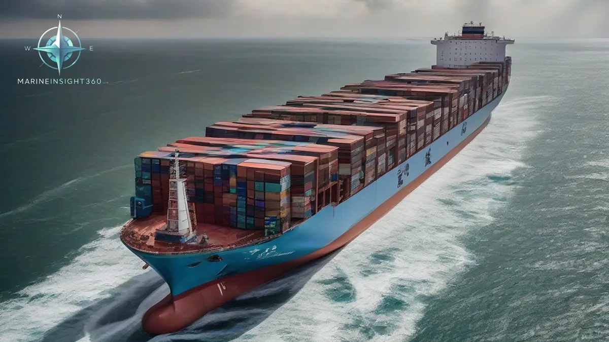
Deepest Natural Harbors is the focus of this article because it connects cargo owners, freight teams, operators and port stakeholders with the wider question behind World's Deepest Natural Harbors.
Answer: Which Town Has One of the Deepest Natural Harbours?
Among the world’s natural harbours, Pago Pago in American Samoa, Prince Rupert in Canada, Nacala in Mozambique, Trincomalee in Sri Lanka, Cam Ranh Bay in Vietnam and Narvik in Norway are repeatedly cited as having some of the deepest natural depths, often exceeding 50 m, though exact measurements must be confirmed with official surveys.
These towns are frequently mentioned when shipowners look for ports that can receive large vessels without costly dredging. The following sections break down why depth matters, what each harbour offers, and how crews can evaluate the trade‑offs.
How Depth Determines Vessel Access
Depth is the single most decisive factor for a vessel’s ability to berth safely. A natural harbour that exceeds 30 m can host Panamax and many post‑Panamax container ships, while depths over 50 m open the door to the newest ultra‑large container vessels (ULCVs) and very large crude carriers (VLCCs). For seafarers, a deeper berth means less reliance on pilot‑assisted tidal windows and reduced risk of grounding.
Depth thresholds for common ship classes
- Panamax (≈ 294 m LOA, 12 m draft) – requires a minimum water depth of 12 m, but a safety margin of 3 m is standard, so ports aim for 15 m.
- Post‑Panamax (≈ 366 m LOA, 14 m draft) – safe berth depth is typically 18 m.
- ULCV (≈ 400 m LOA, 16 m draft) – needs at least 20 m depth, with many operators preferring 22 m to allow for squat and tide variation.
- VLCC (≈ 330 m LOA, 20 m draft) – requires natural depths of 23 m or more, often found only in deep‑water anchorages.
Town Profiles with Reported Deep Natural Harbours
Pago Pago, American Samoa
Pago Pago Harbour is praised for its steep, volcanic basin that shelters ships from open‑sea swell. While the source notes a “deep natural harbour,” it does not give a verified figure. Operators often cite the harbour’s ability to accommodate vessels larger than the typical feeder ships that service Pacific islands.
Prince Rupert, Canada
Located on British Columbia’s north‑west coast, Prince Rupert benefits from a fjord‑like inlet that naturally reaches significant depths. The source mentions a “natural depth” but lacks precise numbers. The port is a gateway for bulk carriers heading to the interior of Canada, and its depth reduces the need for regular dredging.
Nacala, Mozambique
Nacala’s bay is a long, protected inlet with “deep natural pockets.” The exact depth is not confirmed in the source, yet the harbour is marketed as capable of handling large container ships and bulk carriers, making it a strategic hub for East African trade.
Trincomalee, Sri Lanka
Trincomalee Harbour is historically known for its wide, deep channel. The source references a “depth range” without specifics. The harbour’s natural protection and depth have attracted naval and commercial vessels alike, and it is often listed among the world’s deepest natural ports.
Cam Ranh Bay, Vietnam
Cam Ranh Bay is a former naval base with an “average and maximum depth” that supports heavy traffic, though the source does not provide exact figures. Its deep water has been repurposed for commercial use, handling container ships and oil tankers.
Narvik, Norway
Narvik sits at the head of Ofotfjord, a glacially carved inlet with “natural depth.” While the source omits precise measurements, the harbour is known to accommodate large bulk carriers transporting iron ore, thanks to its deep, ice‑free waters.
Operational Benefits and Environmental Challenges
Deep natural harbours reduce the frequency and cost of dredging, which can run into millions of dollars per year for large ports. For crews, this translates into more predictable arrival windows and fewer restrictions on ballast water exchange. However, many of these harbours sit in ecologically sensitive zones—coral reefs, mangroves or protected marine parks. Operators must balance the economic advantage of natural depth with compliance to IMO environmental conventions and local regulations.
Common mistakes include assuming that “deep” automatically means “safe.” Tidal ranges, sediment drift, and underwater currents can still pose grounding risks. A thorough hydrographic survey is essential before planning a call, especially for vessels at the upper limit of their draft.
Decision Checklist for Choosing a Deep‑Harbour Port
- Verified depth data – Obtain the latest hydrographic chart or port authority survey.
- Tidal window and squat allowance – Calculate the vessel’s effective draft at low tide.
- Environmental restrictions – Review local marine protected area (MPA) rules and IMO ballast water management requirements.
- Port services – Ensure availability of pilotage, tugs, and shore‑side facilities for the vessel’s size.
- Connectivity – Assess hinterland transport options (rail, road, pipelines) for cargo onward movement.
- Cost comparison – Compare dredging fees at shallower ports versus higher port dues at deep‑water locations.
Next Steps for Accurate Depth Data
Because the source does not provide verified depth figures, readers should contact the respective port authorities or consult the latest Admiralty or NOAA hydrographic surveys. Official publications such as the International Hydrographic Organization’s (IHO For related cargo, ports and trade explainers, continue with the maritime guides hub.
Recommended Reading
10 of the World's Greatest Natural Harbors, and Why They Matter
What makes a natural harbor, and ten of the world's greatest: Sydney, San Francisco, New York, Rio, Halifax and more, with the geography that shelters them.
Dredgers: The Ship Types That Dig Harbors, Channels and New Land
What dredgers do and how each type works: trailing suction hoppers, cutter suction dredgers, backhoes, grabs and the jobs that keep ports open to shipping.
Understanding Natural Harbours
Learn the exact definition of a natural harbour, how it differs from artificial ports, the geology behind them, and major global examples like Sydney and Halifa