
ECDIS Explained: How the Electronic Chart Display and Information System Works
How ECDIS meets SOLAS chart carriage, how ENC and RNC data differ, and which safety contour, backup and training details inspectors actually check.
What ECDIS is and why it counts as a chart
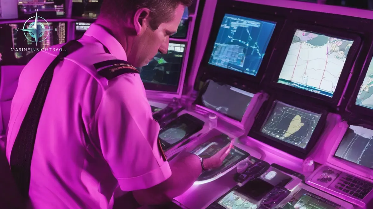
An ECDIS electronic chart display and information system is type-approved navigation equipment. It shows official electronic navigational charts, fixes the ship position from GNSS and other sensors, and monitors the passage plan continuously. Under SOLAS chapter V it is the legal equivalent of a corrected paper chart folio. That legal status is the only thing separating it from every other chart plotter fitted to a bridge.
An Electronic Chart System, or ECS, can show the same chart data on a similar screen and still fail the carriage requirement. Hydrographic authorities are explicit on the point: an ECS cannot satisfy SOLAS chart carriage even when it is loaded with official charts. If the equipment is not type approved to the IMO performance standard, the ship still needs paper.
The SOLAS route to mandatory carriage
IMO revised SOLAS regulation V/19 in 2000 so that an ECDIS could be accepted as meeting the chart carriage requirement. In 2009 it adopted amendments making ECDIS carriage mandatory, entering into force on 1 January 2011, with the requirement phased in for new ships by build date and for existing ships by type and size over the following years.
Two practical points follow. Existing tonnage was caught on a rolling timetable rather than a single date, so older ships may still run a mixed outfit of screens and paper. And flag administrations can grant exemptions in narrow cases, which is why some vessels on fixed short routes remain on charts.
ENC, RNC and the difference that shows on watch
An electronic navigational chart (ENC) is a vector database issued by or on the authority of a government hydrographic office. Because it is a database rather than a picture, the system can interrogate it: query an object for its source and attributes, filter what is displayed by category, and raise an alarm when the planned track crosses a charted hazard.
A raster navigational chart (RNC) is a scanned image of the paper chart. It carries no object intelligence, so anti-grounding alarms cannot work from it. Where ENC coverage does not exist, an ECDIS may be operated in raster chart display system mode, and the ship must then carry an appropriate folio of paper charts for that area. Treat RNC coverage as a gap in the outfit, not an equivalent.
Backup arrangements that survive an inspection
SOLAS requires adequate backup arrangements. Most operators meet that with a second independent ECDIS on an independent power supply and an independent position input, which permits a paper-free bridge. The alternative is a folio of corrected paper charts covering the intended voyage. Audits find problems where the two are mixed carelessly, because a paper backup must genuinely be corrected and must genuinely cover the route as planned, including the diversion options.
Check three things before departure: that ENC permits cover every cell on the route and the contingency ports, that the weekly updates have been applied and verified, and that the backup unit holds the same updated data. Expired permits on a diversion cell are a common and entirely avoidable finding.
Settings that decide whether the alarms help you
Safety settings are not defaults to accept blindly. Four values shape almost everything the system tells you.
- Safety depth. Highlights soundings shallower than the chosen value, normally draught plus squat plus a clearance allowance.
- Safety contour. Drives the anti-grounding alarms. If the exact value is not held in the ENC, the system takes the next deeper contour available, so the contour actually in force can be far more conservative than the number entered.
- Shallow and deep contours. Set the shading bands that make the picture readable at a glance in poor light.
- Look-ahead and cross track limits. Decide how far ahead the system checks and how wide the safety corridor is around the planned track.
Scale discipline matters just as much. Displaying an ENC larger than its compilation scale produces an over-scale picture that looks precise and is not, which is why the system marks it.
Training, familiarization and the audit trail
STCW requires generic ECDIS training for officers who use the system operationally, and the safety management system requires type-specific familiarization on the actual make and model fitted. A generic certificate alone does not close that gap. A port state control officer can test it in minutes by asking the officer of the watch to change a safety contour or run a route check.
The system also keeps a voyage record that cannot be edited, storing track, settings and alarm history. After an incident that record will be read line by line. Work on the assumption that every alarm acknowledgement is visible later, and write the reasoning for any deliberate deviation into the bridge log at the time it is made.
Where bridge teams get caught out
Three failure patterns repeat across casualty reports and inspection findings. Officers silence alarms without diagnosing them, so a genuine safety contour warning is lost in noise generated by a badly set corridor. Positions are trusted without an independent check, which is dangerous now that GNSS interference is routine in several trading areas. And update discipline slips on ships holding hundreds of cells, leaving stale data on a rarely used approach.
Cross-check by radar parallel index or visual bearing on any passage where the margin is thin, and treat the chart display as one input rather than the answer.
Sources and further reading
- IMO: Electronic Nautical Charts (ENC) and ECDIS
- IHO: ENC and ECDIS
- AMSA: Electronic chart display and information system
- West of England P&I: SOLAS mandatory requirements for ECDIS
What to read next
Recommended Reading
How Are Electronic Charts Updated? ENC Corrections on ECDIS
Electronic charts are updated by weekly ENC correction files from hydrographic offices, applied in ECDIS. How the cycle works and where updates fail.
What Is SMS in Maritime? The Safety Management System Explained
SMS in maritime means Safety Management System, required by the ISM Code. Here is what it contains, how the DOC and SMC work, and how audits actually go.

MAN Cryo Ammonia Fuel System Approved: What Engineers Should Know
DNV and Bureau Veritas approved the MAN Cryo ammonia fuel system design. What Approval in Principle means, and the toxicity rules engineers now face.