
How Does Marine Traffic Works?
When it comes to collecting vessel information for maritime solutions, we’ve discussed marine traffic tracking technology and AIS data . It’s an important…

A Complete Guide to Marine Traffic Tracking Technology and AIS Data
When it comes to collecting vessel information for maritime solutions, we’ve discussed marine traffic tracking technology and AIS data . It’s an important part of situational awareness – providing rich information for things like port monitoring and vessel route optimization.
But we thought we’d break down this type of data and create a complete guide so you know exactly what’s involved and more.
Perhaps your organization is looking to use AIS vessel identification to supplement satellite analysis for vessel detection, which has you asking: What exactly is marine traffic tracking and AIS data? How does it work and how do satellites in space come into play? Let’s take a closer look and find out.
So, what is marine traffic?
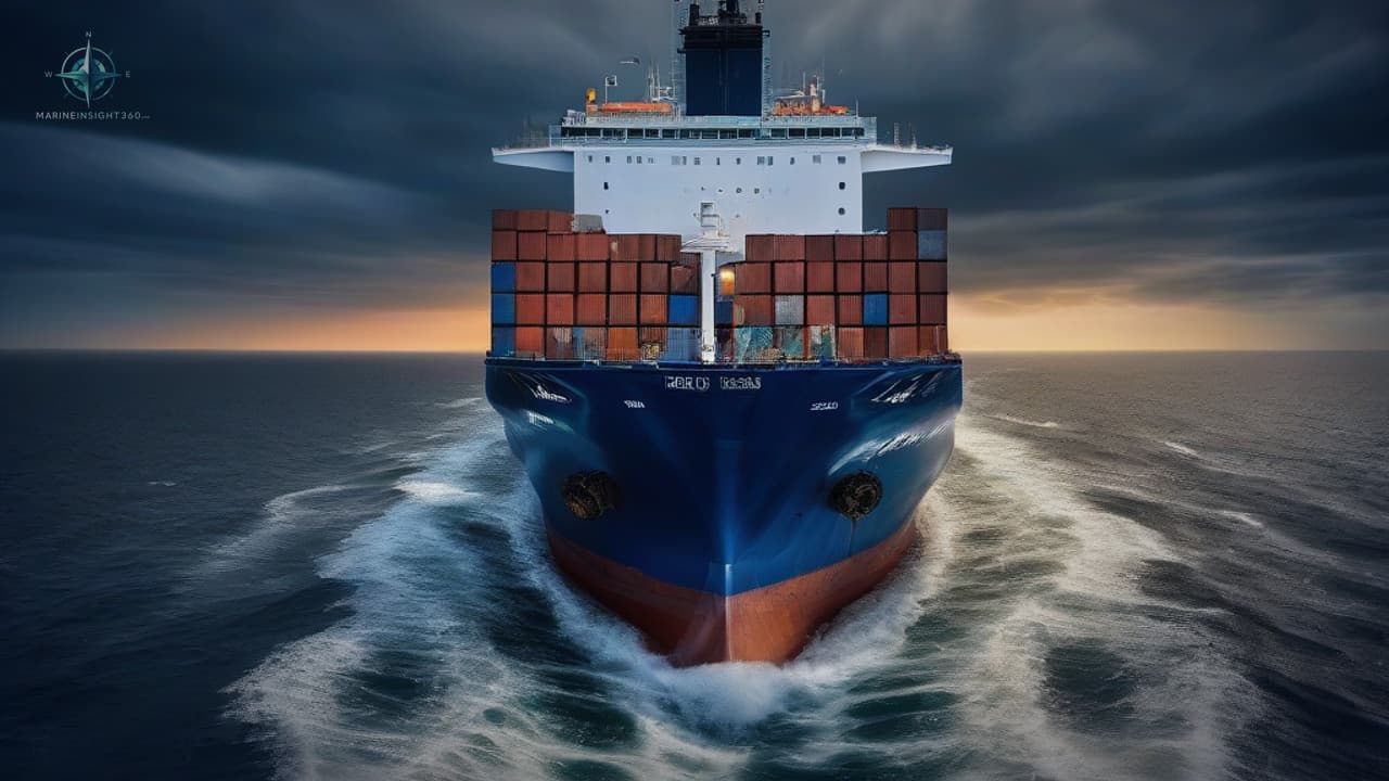
Marine traffic is basically all ships at sea. Tankers, ocean carriers, container ships, fishing vessels , passenger ships – all in one. Ships are classified into different types based on their purpose , size and type of cargo.
Vessel Traffic Services (VTS) tracks marine traffic in the same way that air traffic control tracks aircraft. Vessel Traffic Services are marine traffic control systems established by port or harbour authorities to improve the safety and efficiency of ship navigation and protect the environment.
What is marine tracking?
Think of it as your eyes at sea. Marine tracking is the ideal way to scan the waves and know exactly what, where, when and how (fast, slow or otherwise) vessels are moving.
It can infer real-time information about the movement of ships and their current positions in ports and terminals.
The United Nations Conference on Trade and Development (UNCTAD) 2018 Maritime Transport Assessment shows that there are 50,732 active ships in the world, both at sea and in ports.
There are many ways to track all this traffic and do marine tracking. AIS tracking sites such as MarineTraffic operate more than 2,000 AIS stations in more than 165 countries around the world.
Marine tracking services provide real-time global ocean coverage as well as forecast services. This includes a detailed breakdown of vessels including name, country of origin, speed, direction, status, exact position and more.
It is important to note that not all vessels are equipped with the technical equipment required for maritime tracking.
However, in 2004, the International Navigation Ship Management Committee decided that all ships over 300 gross tonnage (GT) must be equipped with Automatic Identification System (AIS) equipment on board as part of the requirements set out in the International Maritime Organization's Safety of Life at Sea (SOLAS) Regulation V/19.2.4. Speaking of AIS, let's explore it next.
What is AIS data?
The Automatic Identification System is an automatic tracking system that displays other ships nearby. It tracks the largest ships sailing around the world and provides real-time information about them.
The Automatic Identification System uses transponders on board ships to track and trace ships, enabling the automatic electronic exchange of maritime data between ships and shore facilities.
Vessels equipped with AIS regularly send and receive information from other vessels equipped with AIS. This information is divided into three categories and includes:
Static information (sent every 6 minutes):
- Identity
- IMO number
- Length and width
- Vessel type
- Antenna position
Dynamic information (sent based on speed and lane changes):
- Position
- Speed on land
- Track on the ground
- Navigation status
- Turnaround rate
Flight information (sent every 6 minutes):
- Shipment type
- Destination
- Estimated time of arrival (ETA)
- Route map
- Safety information
Why is AIS important?
The AIS tracking system was originally developed by the International Maritime Organization as a collision avoidance tool for large ships at sea, not as a shore-based system. AIS enables ships to "see" each other more clearly and improves situational awareness for mariners.
AIS data transmissions are received by coastal AIS stations and all other AIS-equipped vessels in their vicinity. As a result, vessels can be automatically identified, tracked, and followed, whether they are located in the open sea, in inland waterways, or in coastal waters.
This data can be displayed on a screen or information system - showing the direction and distance of nearby vessels in a radar-like display format. This enables mariners to be aware of the presence of other vessels long before visual contact is made and to make timely decisions.
Vessel tracking using AIS is the most significant advancement in navigation safety since the invention of radar.
However, AIS does not replace navigation-related services such as radar and vessel traffic services, but rather supports them.
The power of AIS lies in its ability to detect and track vessels equipped with the device. AIS and radar complement each other, each with its own distinct features.
With AIS data, collision avoidance is more accurate than ever before, and maritime safety is essential.
To ensure the usefulness and uniformity of AIS data, IMO regulations require AIS systems to:
- Provide information such as vessel identity, type, position, course, speed, navigation status, etc.
- Receive such information automatically from vessels equipped with similar AIS systems.
Automatic Identification System Data Applications
While the original purpose of AIS was simply to avoid collisions, many other maritime applications have been derived from it, and AIS is currently used for:
Collision Avoidance
When a ship is at sea, the movement and identity of nearby ships is essential for mariners to make decisions to avoid collisions with other ships or objects such as rocks.
Protecting the Oceans
The world's oceans are deteriorating, with populations of plant, animal and aquatic species declining. AIS data can be used to identify ship routes and positions to monitor protected areas, alert of geo-fenced area violations and identify perpetrators.
Maritime Safety
Automatic Identification Systems enable authorities to identify specific vessels and their activities in or near a country's exclusive economic zone (an area of the sea over which a sovereign state has special rights).
Aids to Navigation
The AIS AtoN product standard was developed to enable the transmission of the position and name of objects other than ships. This includes navigation aids and dynamic data reflecting the environment (such as lighthouses or weather conditions).
Search and Rescue
AIS data can provide more information needed to coordinate on-site maritime search and rescue operations. The position and navigation status of other nearby ships provide search and rescue teams with better situational awareness.
Accident Investigation
AIS data is key to compiling timelines during accident investigations. It provides accurate historical data on time, identity, compass direction, GPS-based position and speed, compared to the less accurate information provided by radar.
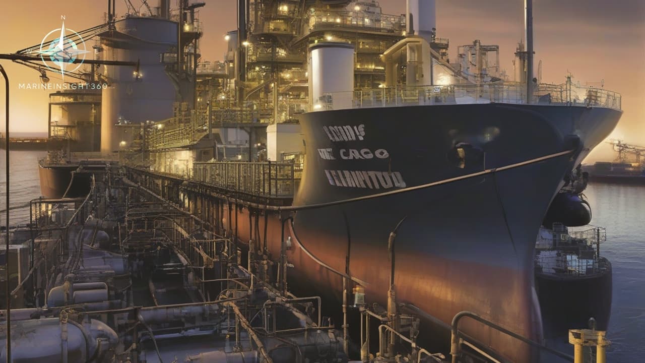
Fleet and Cargo Tracking
Fleet or ship managers can use AIS tracking websites to track the global position of their vessels. This enables cargo owners in transit to track the progress of their cargo and predict when it will arrive at port.
How does AIS work?
AIS is a transceiver system that operates in the marine mobile very high frequency (VHF) band.
The AIS system consists of a VHF transmitter, a DSC VHHS receiver, two VHF TDMA receivers, and standard marine electronic communications links for onboard display and sensing systems.
AIS Data Information
Position and time information is typically extracted from an internal or external GPS receiver. Other information transmitted by AIS is extracted electronically from the ship's equipment via standard marine data communications.
AIS must always be turned on on board unless it needs to be turned off for safety or other reasons.
If AIS is not installed or operational, vessels will not be able to exchange information via AIS. In general, the AIS business model is independent and continuous. Therefore, if a vessel is equipped with an AIS system, it will also appear on the screens of other nearby vessels.
AIS Frequencies
Although only one channel is required, each station transmits and receives alternately over two radio channels to avoid interference from vessels and loss of communication:
AIS 1: on channel 87B at 161.975 MHz (simplex, ship-to-ship)
AIS 2: on channel 88B at 162.025 MHz (duplex, ship-to-shore)
Data Transmission
The signal is received by AIS transponders installed on other vessels or by land-based systems such as VTA systems.
The data is transmitted via a tracking system that uses a self-organizing time division multiple access (SOTDMA) data link designed by Swedish inventor Håkan Lans.
The term “self-organizing” refers to the way time slots are allocated to users. With the SOTDMA method, only the first available time slot needs to be found for transmission. The next five slots are always automatically reserved. In one minute, there are 2,250 time slots available for AIS transmission. 2250 ports are available for AIS data transmission per minute.
AIS Types and Classes
The AIS standard includes sub-standards called "Types" which define individual product types and describe the technical specifications for each product type.
This contributes to the overall integrity of the global AIS system. The main types of products described in the AIS standard for transmitting AIS data telegrams are:
Class A: For large commercial vessels and SARTs, a radio transmitter that locates lifeboats or ships in distress by sending updated position reports.
Class B: For the lighter commercial and recreational markets, it uses Carrier Sense Time Division Multiple Access (CDTDMA) in addition to SOTDMA (same as Class A).
What is the AIS Satellite System?
Satellite AIS, or S-AIS, uses satellites to detect AIS signatures.
Initially, the Automatic Identification System was used on land, with signals sent from ships to land with a range of about 20 miles.
Then, as ships began to move away from the coast, they began to send signals to satellites in space, which relayed this information back to Earth. This means that ships can go wherever they want, and we always know which ship is there and how it is doing.
This allows ships that are outside the range of the land-based AIS network distributed along the coast to be tracked.
AIS Data and Earth Observation Solutions
Earth observation satellites orbiting the Earth collect important information about the ocean, ice, land, and atmosphere. Advanced analytics algorithms are trained to identify and extract insights from EO data.
The beauty of EO data is that when analyzed together with AIS data, it can reveal more than you might have known.
For example, satellite imagery from the Sentinel-1 satellite constellation provides a wider picture of an area of interest. Vessel detection algorithms can then accurately identify visible vessels in the satellite imagery.
This allows you to isolate vessels of a certain size and examine their specific location.
In addition, as we’ve already explained, AIS data also provides information about vessel identity, route, destination, estimated time of arrival (ETA), and more.
Combining AIS with satellite data and analytics in this way can open up a wide range of solutions to challenges such as port overloads, proactive monitoring, and logistics efficiency.
What are the challenges of maritime tracking?
This useful data type has many limitations:
The accuracy of the received AIS information depends on the accuracy of the AIS being transmitted.
The AIS system may be sending erroneous information from another vessel.
Not all vessels are equipped with AIS.
The position received on the AIS display may not be referenced to WGS 84, a standard coordinate system called the World Geodetic System.
What is AIS data and vessel traffic monitoring technology?
In short, maritime tracking using Automatic Identification System (AIS) data is a method of automatically and regularly transmitting information about a vessel's speed, position, course, and type to nearby vessels using transponders on each vessel.
While the original purpose of AIS was simply to avoid collisions, many other maritime applications have arisen from it, such as maritime safety, search and rescue, aids to navigation, and fleet and cargo tracking.
Earth observation data and algorithms are an ideal way to extract more value from AIS data and gain more situational awareness.
Combining AIS data, satellite imagery, and advanced analytics is a great way to improve efficiency and sustainability, and save costs in the long run.
It is relatively easy and quick to combine high-resolution Earth observation imagery, radar data, and even atmospheric data with automatic identification systems to obtain valuable and useful information.
More from the Blog
Important Points for Committing Cargo Quantities in Tanker Ships
Committing cargo quantities on tanker ships is a critical commercial and operational decision. Whether it is crude oil, refined petroleum products,…

What is Displacement of a Ship ?
Imagine a colossal container ship like the Ever Given, stuck in the Suez Canal back in 2021. That beast weighs over 200,000 tons when fully loaded,…

Understanding Cruise Ship Hull Design
Cruise ships rely on hull shapes that blend form with function. Designers pick shapes to cut through water with less effort. This boosts speed and cuts…