
Global Maritime Distress and Safety System (GMDSS)
In the 18th century, ships sailing in international and coastal waters relied on Morse code to send distress signals to coastal authorities or nearby…
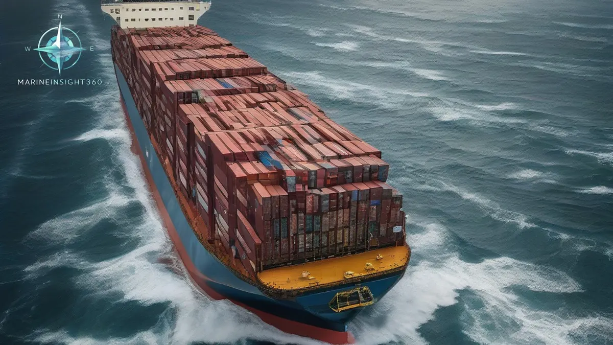
The Global Maritime Distress and Safety System (GMDSS) is the IMO's set of communication procedures, equipment and safety standards under SOLAS Chapter IV, and it applies to cargo and passenger ships above 300 gross tonnage on international voyages.
Things You Should Know About Global Maritime Distress and Safety System (GMDSS)
In the 18th century, ships sailing in international and coastal waters relied on Morse code. It carried their distress signals to coastal authorities or to nearby ships in the event of emergencies.
As such, messages were transmitted as text messages via tones or lights. They were not clear enough for shipboard personnel to identify the type of emergency.
Therefore, the International Maritime Organization (IMO) adopted an internationally recognized safety procedure. That procedure is GMDSS, the Global Maritime Distress and Safety System. It sits under Chapter IV of the International Convention for the Safety of Life at Sea (SOLAS).
GMDSS and its uses
GMDSSbecame fully implemented on 1 February 1999. The system sets standards for communication protocols and procedures. It also covers the safety equipment used by ships in distress.
The Global Maritime Distress and Safety System (GMDSS) applies to passenger and cargo ships. It covers every such ship sailing in international waters with a gross tonnage of more than 300 tons. Those ships must be equipped with equipment that complies with the system.
When a ship uses the GMDSS system, it sends distress signals via satellite or radio communication equipment. The system also serves as a general communication channel, and it is a means of exchanging maritime safety information.
In the GMDSS system, the sea area is divided into distinct areas based on the distribution of operating equipment. They are as follows:
- Area Frequency Band Equipment
- A1: 20 to 50 meters (VHF DSC)
- A2: 50 to 400 meters (VHF + MF)
- A3: 70°N to 70°S (VHF + MF) + one INMARSAT equipment
- A4: 70°N or above 70°S (HF + MF + VHF)
To better understand the above table, the frequency ranges within a particular band are listed below:
- MF: 300 kHz to 3 MHz
- HF: 30 MHz to 30 MHz
- VHF: 30 MHz to 300 MHz
VHF (VHF)
The 156 MHz to 174 MHz band is allocated for maritime communications. Channel 16 is set to 156800 MHz and is reserved for distress, emergency, and safety communications. Channel 70 is set at 156.525 MHz for routine VHF DSC communications.
Guard channels are set above and below channel 16 to avoid interference. If other communications are interfered with, smooth communication on channel 16 cannot be guaranteed. That covers all traffic except distress, safety, and emergency communications. Therefore, the guard channel frequencies are 156.775 MHz and 156.825 MHz.
Additionally, the VHFband is powered by a 24 V DC power supply. Radio communications utilize J3E transmission, while VHF DSC communications employ G2B transmission.
The Global Maritime Distress and Safety System (GMDSS) has the following components:
International Maritime Satellite Organization (INMARSAT):
A satellite-based system that includes ship-borne ground stations. These stations are Inmarsat B, C, and F77. It provides ship-to-ship, ship-to-shore and shore-to-ship telex, telephone, and data transmission services. It also provides priority telex and telephone services connected to shore rescue centers.
NAVTEX:
The NAVTEX system is an internationally recognized automated system for distributing maritime safety information (MSI). That includes weather forecasts and warnings, navigational warnings and search and rescue (SAR) notices. Other similar safety information is carried as well.
Emergency Position Indicating Radio Beacon (EPIRB):
An EPIRB is a device used to assist in locating survivors. It is used during search and rescue operations, and it is an adjunct to the distress signal. Click here to learn about EPIRBs.
Search and rescue locating equipment: Primarily a search and rescue radar transceiver. This equipment guides search and rescue units to the location of distress, and it transmits distress signals when queried. Click here to learn about search and rescue equipment.
Digital Selective Calling (DSC):
A communications service provided between ships, between ships and shore, or between shore and ship. It provides safety and distress information primarily on high or medium frequencies, and on marine very high frequency (VHF) frequencies.
Documents required for GMDSS on board:
- Ship Radio License
- Radio Operator Certificate
- Radio Safety Certificate
- GMDSS Radio Register
ITU List of Base Station Signals and Digital Identifications used by Maritime Mobile and Maritime Mobile Satellite Services
- ITU List of Coast Stations
- ITU List of Ship Stations
- ITU List of RFID Stations and Special Service Stations
- Antenna Equipment Diagram
- Valid Shoreline Maintenance Certificate
GMDSS Training
Operating GMDSS equipment requires approved training and a license. The communications department of the administration issues that license. A driver needs to hold a General Operator Certificate (GOC) to operate GMDSS equipment on board a ship.
To obtain this certification, you must attend a short course and pass written and oral examinations. This training is designed for students who must hold a radio operator's license. It authorizes them to operate all equipment in accordance with Global Maritime Distress and Safety System (GMDSS) regulations.
The course takes approximately 12 days. The course is mandatory, so register in advance with the certifying body to reserve a seat later. The details depend on your country. Please visit the certifying body's website for complete information on the GMDSS course requirements and entry criteria. Also visit the Ministry of Shipping's website, or the corresponding ministry in your country.
During the course, the officer will learn all aspects of the GMDSS, from radio signal recording to INMARSAT information transmission. It also covers all aspects required for onboard communications. The written examination assesses the theoretical part. The oral examination is a one-on-one interview with an inspector who evaluates the student's knowledge of all aspects of the GMDSS. That covers the entire syllabus, both theoretical and practical.
UK List of Naval Radio Signals (ALRS) Volume 5:
NP285, or ALRS Volume 5, is a publication. It contains comprehensive theoretical and practical information on all matters relating to the Global Maritime Distress and Safety System (GMDSS). Relevant corrections can be found in the Weekly Notices to Mariners (NTM) Part 6. It includes:
- Distress communications and false alarms
- Digital Direct Calling (DSC) equipment operating procedures
- Search and rescue transceivers
- Extracts from the International Telecommunication Union Radio Regulations
- List of VHF Coast DSC stations in A1 marine area
- List of VHF Coast DSC stations in A2 marine area
- List of VHF Coast DSC stations in A3 marine area
- International Maritime Satellite Organization (INMARSAT)
- Maritime Safety Information (MSI)
- SafetyNet
- NAVTEX
- Distress, search and rescue
Portable maritime radio
The portable maritime transceiver is also known as a lifeboat transceiver. It is a crucial component of the Global Maritime Distress and Safety System (GMDSS). It is a device placed in the wheelhouse for use when ship personnel need to board a lifeboat. It can also be used for onboard communications.
Jotron TX indicator
In emergency situations, it is used for on-site coordination between lifeboats and search and rescue units. The International Maritime Organization (IMO) requirements for lifeboat transceivers are as follows:
- Can be operated by non-professionals.
- Transmit and receive on 156.8 MHz (16 channels) and 156.3 MHz (6 channels).
- The devices can withstand a drop from a height of one meter.
- Can withstand 5 minutes underwater4 at a depth of one meter.
- Minimum power: 0.25 watts.
- Equipped with a power reduction switch.
- The antenna must be omnidirectional and vertically polarized.
- Battery life must be at least 8 hours (NiCd or Li-ion).
The scope of the Global Maritime Distress and Safety System (GMDSS) is extensive. Comprehensive information about the system comes from publications, manuals and other available means. That is the only way to improve the operation of the equipment and to gain a deeper understanding of its configuration.
Maximum knowledge of all aspects of the GMDSS system is in the best interest of the vessel. It supports the mandatory training on board and the necessary training in emergency situations.
Recommended Reading
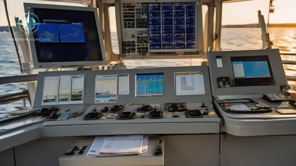
What Is the Global Maritime Distress Safety System (GMDSS)?
What Is the Global Maritime Distress Safety System (GMDSS)?: safety, training and compliance context for US, UK, Canada, Australia, Singapore and...
Safety Management System (SMS): The Rulebook Every Ship Runs On
What a safety management system is in shipping: the ISM Code framework of procedures, drills, audits and the DPA that turns safety from intention into system.
Marine Fire Safety: What the FSS Code Requires on Every Ship
How marine fire safety works under the FSS Code: fire mains and pumps, fixed gas and sprinkler systems, detection, escape gear and the drills that bind it all.