
What Is the Safety Contour in ECDIS, and How Should You Set It?
The ECDIS safety contour is the depth line dividing safe from unsafe water and the only one that alarms. How to calculate it and the mistakes crews make.

What is Safety Contour in ECDIS, and how much rides on it? It is the depth line the navigator selects to divide water the ship can safely enter from water it cannot. It is also the only depth setting that drives an alarm. ECDIS warns when the vessel or the planned route is about to cross it, and everything shallower is shaded as unsafe water.
Safety depth, shallow contour and deep contour change what you see, but they do not alarm. Port state control officers in the US, UK and Australia open this page early in an ECDIS inspection.
Get the safety contour wrong and every other anti-grounding function in the system inherits the error, because the route check and look-ahead alarms are all measured against it.
What the safety contour actually controls
Three things depend on the value you enter. First, the boundary between the safe and unsafe shading on the chart display. Second, the crossing-safety-contour alarm from the look-ahead function. Third, the route check, which scans a corridor either side of the planned track and reports every place the leg enters water shallower than the contour.
The contour also governs which isolated dangers appear. Underwater hazards that lie inside the safe water area are flagged with the isolated danger symbol only because ECDIS knows where the safe water boundary is. Set the contour badly and those symbols move with it.
How to calculate the value
The starting point is the ship's deepest static draught for the leg, plus squat at the intended speed, plus the under keel clearance the company requires. Height of tide is the variable that company policy decides.
- Without tide. Draught plus squat plus required UKC. The resulting contour stays valid for the whole passage regardless of the tidal state, which is why many safety management systems prefer it.
- With tide. Subtract the predicted height of tide for the window in which the ship transits. This gives a less restrictive display but is only true for that window, and it must be revised if the ship is delayed.
Squat is the part crews most often underestimate. On a large ship at speed in shallow, restricted water it can exceed a metre (3.3 ft), and it grows sharply as the depth to draught ratio falls.
The trap: ECDIS jumps to the next deepest contour
ENCs only carry certain depth contours, commonly 2, 5, 10, 15, 20 and 30 metres. If the value you enter is not one of the contours present in the cell, ECDIS does not interpolate. It selects the next deepest contour available. Enter 12 metres in a cell that carries 10 and 20, and the system will use 20 metres as your safe water boundary.
That behaviour errs on the safe side, but it is far more restrictive than intended and it generates alarm pressure in shallow ports. The habit to build is simple: after entering a value, read back the contour the system reports as being in use, and record it in the passage plan. Both ECDIS units on the bridge must carry identical settings.
Safety depth, shallow contour and deep contour
Safety depth is a value, not a line. Any integer within the vessel's draught range can be entered, and ECDIS emphasises every spot sounding equal to or less than that figure by displaying it in bold black rather than grey. There is no audible alarm attached to it. Its job is to make dangerous soundings jump off the screen inside water the contour has already declared safe.
Shallow contour and deep contour only shape the display. In two-shade mode, the safety contour alone separates safe from unsafe. In four-shade mode, the shallow contour, safety contour and deep contour create four depth bands. Setting the shallow contour one interval below the safety contour gives a clear visual buffer approaching the boundary. Deep contour is commonly set around twice the draught or at 30 metres.
Mistakes that cost ships
- Leaving the default 30 metre setting in place in coastal waters, then silencing the resulting alarms out of habit.
- Setting the contour once at the start of a voyage and never revising it as draught changes with consumption and deballasting.
- Assuming the number typed in is the number in use, rather than the next deepest contour the ENC actually carries.
- Confusing safety depth with safety contour in the passage plan, which usually shows up in an audit or a port state control inspection.
- Treating a safe shading as survey truth. Zones of confidence, the CATZOC attribution in the ENC, tell you the quality of the underlying survey. Poor CATZOC categories demand an added depth allowance on top of the calculated UKC.
- Running a route check and clicking through the reported crossings without examining each one and recording the decision.
Set it, then prove it
A defensible passage plan states the draught used, the squat allowance, the UKC policy figure, the tidal assumption, the requested safety contour and the contour ECDIS confirmed it is using. That record is what turns a screen setting into evidence that the bridge team assessed the water it was entering.
For more on chart work, route planning and bridge procedures, see the Navigation and Shipboard Operations sections of Marine Insight 360.
The setting has a legal spine. SOLAS Chapter V Regulation 19 makes ECDIS carriage mandatory for most ships on international voyages, and the equipment has to meet IMO performance standards. The Paris and Tokyo MoUs have run a joint campaign on safety of navigation that put these settings under direct scrutiny. The USCG, MCA and AMSA all compare the passage plan against what the screen is doing.
Investigators keep finding the same thing. The MAIB report into the grounding of the Ovit on the Varne Bank describes a route planned straight across a charted shoal in the Dover Strait. The ECDIS alarms that should have caught it were either unsuitable or turned down. Groundings of that kind are rarely a failure of the equipment. They are a failure to configure it and read it.
Sources and further reading
- Setting Safety Depth and Safety Contours in ECDIS (IHO)
- Safety contours - The Nautical Institute
- How Safety Parameters Shape Navigation - Raymarine Commercial
What to read next
Recommended Reading
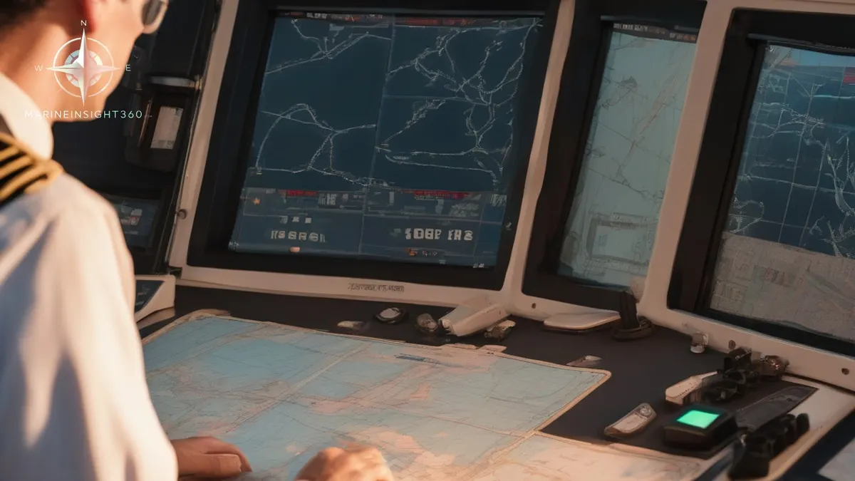
Proper Use of ECDIS Safety Settings
Proper Use of ECDIS Safety Settings: safety, training and compliance context for US, UK, Canada, Australia, Singapore and European maritime readers.

What Is NAVTEX? How the 518 kHz Safety Broadcast Works on Watch
NAVTEX broadcasts navigational warnings, weather and SAR information to ships within about 250 miles of the coast. Message format, setup and common errors.
What Is a Boiler on a Ship? Types, Steam Uses and Safety
A ship boiler makes the steam that heats fuel and cargo and drives deck machinery. Fired boilers, exhaust gas economizers, water treatment and safety checks.