
Who Owns the Gulf of Mexico? Territorial Waters, EEZs and the Doughnut Holes
Who owns the Gulf of Mexico: how the US, Mexico and Cuba divide it under the Law of the Sea, what the doughnut holes are, and what the naming dispute changes.
Who owns the Gulf of Mexico? No single state does: the United States, Mexico and Cuba divide almost all of it between them, each holding sovereignty over territorial waters near its coast and exclusive rights to resources further out.
Only about two percent of the Gulf's roughly 600,000 square miles sits beyond any national claim.
The framework comes from the United Nations Convention on the Law of the Sea, which sets the same zones everywhere in the world. Understanding those zones answers most of what people mean when they ask who owns the Gulf of Mexico.
The Zones That Divide Any Sea
- Territorial sea, 12 nautical miles: effectively sovereign national water. The coastal state makes and enforces the law here, subject to the right of innocent passage for foreign ships.
- Contiguous zone, to 24 nautical miles: a buffer where the state may enforce customs, immigration, sanitary and fiscal law.
- Exclusive economic zone, to 200 nautical miles: not ownership of the water, but exclusive rights to explore and exploit resources, oil, gas, fish and seabed minerals, plus jurisdiction over environmental protection.
- Continental shelf, sometimes beyond 200 miles: seabed rights that can extend further where the geology supports the claim.
Outside those zones lie high seas, open to navigation by all. In the Gulf, that residue is small, because the American, Mexican and Cuban coasts sit close enough for their 200-mile zones to cover nearly the whole basin.
How do the three countries split the Gulf of Mexico?
The United States claims the northern Gulf along the coasts of Texas, Louisiana, Mississippi, Alabama and Florida, where most of the region's offshore oil and gas production sits. Mexico claims the western and southern Gulf off Tamaulipas, Veracruz, Tabasco, Campeche and Yucatán, home to the Cantarell and Ku-Maloob-Zaap fields. Cuba claims the southeastern corner off its northwestern coast.
The United States and Mexico settled their main boundary by treaty in 1978, a line running through the middle of the Gulf where their claims meet. Cuba and the United States have a maritime boundary arrangement of their own dating to 1977. These lines are what a nautical chart shows when it divides the Gulf.
The Doughnut Holes
Where the Gulf is widest, the three countries' 200-mile zones did not quite meet, leaving pockets of seabed beyond every national EEZ. These gaps became known as the doughnut holes, and because they are believed to hold oil and gas, they mattered far beyond their size.
The Western Gap was resolved by a United States and Mexico treaty in 2000. The Eastern Gap took longer, involving all three neighbors, and further continental shelf boundary treaties signed in January 2017 addressed the seabed beyond 200 nautical miles, roughly 79 nautical miles of boundary with Mexico and about 30 with Cuba. The practical effect is that almost every part of the Gulf seabed now has an identified owner for resource purposes.
What About the Name?
In 2025 the United States began officially using Gulf of America for the same body of water, and mapping services split on how to display it. The naming choice has no effect on maritime law: boundaries, EEZs and treaty rights come from the Law of the Sea and the treaties above, not from what a government or map publisher calls the sea.
The wider point is worth remembering. A name on a chart does not create jurisdiction, and disputes over what a sea is called are rarely disputes about who may drill or fish in it.
Why the Answer Matters
Ownership decides who licenses drilling and who collects the revenue, who polices fishing quotas, who answers for a spill, and who runs search and rescue in a given patch of water. It also decides where a ship may sail freely and where it needs permission. For an industry that moves through these waters daily, the boundary lines are working information, not trivia.
Shared problems still cross every line. Hurricanes, the seasonal low-oxygen dead zone fed by the Mississippi, migratory fish stocks and any drifting oil ignore treaty boundaries entirely. That is why the three neighbors run joint arrangements for spill response, fisheries science and navigation safety alongside their separate claims.
What to do next
Maritime boundaries shape shipping everywhere, and these guides continue the theme:
Recommended Reading
10 Largest Oil Rigs in Gulf of Mexico
The Gulf of Mexico is located near the southern coast of the United States. It is also often called the "Third Coast" of the United States. The Straits of…
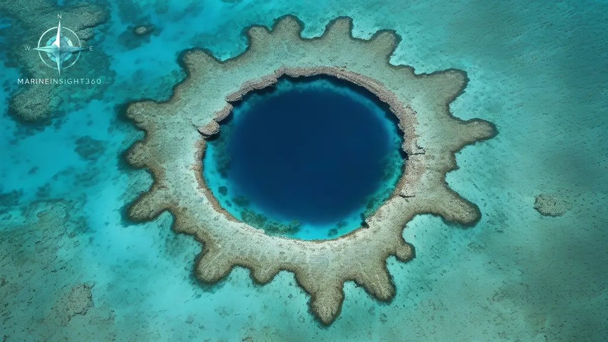
Blue Holes: How Marine Sinkholes Form and Where the Deepest Ones Hide
What a blue hole is, how ice-age limestone made these marine sinkholes, famous ones from Belize to Mexico's 420 m record, and why divers respect them.
Indian Navy secures cargo ship following pirate attack in Gulf of Aden
Indian Navy secures cargo ship following pirate attack in Gulf of Aden: safety, training and compliance context for US, UK, Canada, Australia,...