Iran uses drones, decoys in Strait of Hormuz to challenge US operations
Iran uses drones and decoys in the Strait of Hormuz against U.S. operations. Military action against a Gulf state by July 22 at 50% YES.
Why Iran’s Drone Campaign Matters to Shipping
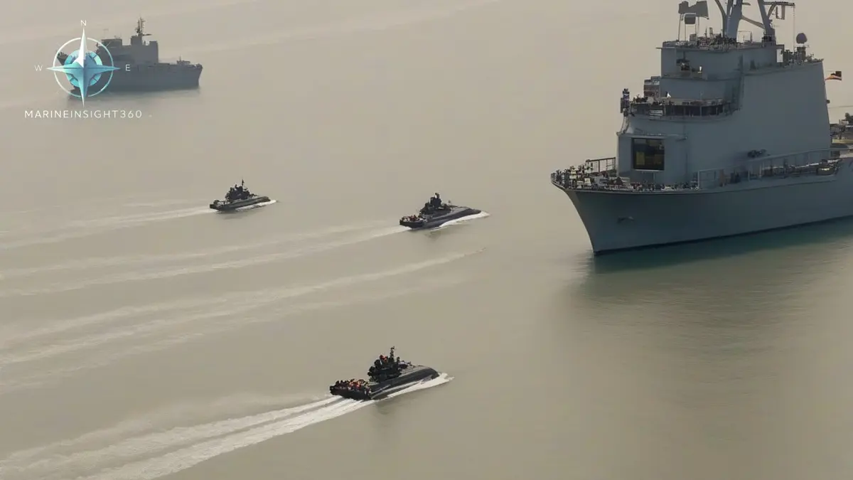
Iran uses drones, decoys and fast attack boats together in the Strait of Hormuz, a chokepoint that handles roughly 20% of global oil traffic. The coordinated swarms, which also carry missiles, are designed to overwhelm larger warships, so route planning, insurance premiums and crew training now have to account for them.
How U.S. Forces Counter the Threat
U.S. aircraft intercepted several Iranian one‑way attack drones heading toward the Strait. After the intercepts, U.S. forces struck Iranian coastal radar sites that support drone launches. The videos released over the weekend show U.S. naval assets engaging Iranian drones, underscoring the heightened readiness of U.S. forces in the region. These actions demonstrate that the U.S. is actively neutralising the launch infrastructure that fuels the swarm.
Swarm Tactics: A Layered Threat
Iran’s strategy relies on swarm tactics that combine:
- Fast‑attack boats that can close in quickly and launch missiles.
- One‑way drones that are designed to crash into targets, delivering explosives or acting as decoys.
- Missiles that can be fired from shore or sea platforms.
Deploying these elements together creates a layered threat that can overwhelm conventional warships. The sheer number of drones—reported to be in the hundreds and stationed in Cuba—expands the geographic scope of the danger, potentially reaching the U.S. mainland.
What a swarm looks like from a merchant bridge
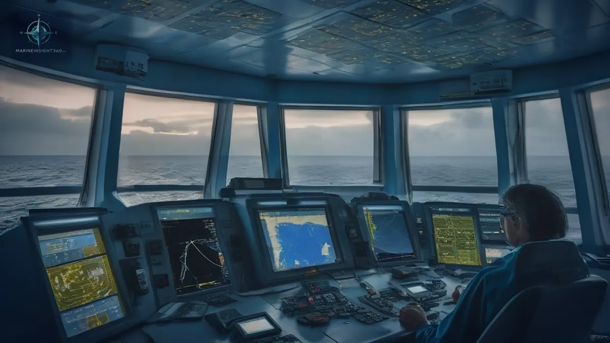
A one-way attack drone is small, flies low and closes fast. Ship's radar is set to hold surface contacts, not to pull a slow-moving airborne object out of sea clutter, so the first indication usually comes from a lookout rather than a screen.
Fast-attack craft make that harder. They approach on bearings already crowded with fishing boats and dhows, so the contact that matters does not look different from the dozens that do not.
Satellite navigation is the second problem. GNSS jamming and spoofing are reported often enough in the Gulf that position has to be cross-checked against radar ranges to charted land, visual bearings and the echo sounder rather than taken from the GPS receiver. A displayed position that quietly walks off track inside a narrow traffic lane is a grounding risk before it is a security one.
Why a ship cannot simply steer away from the coast
The strait leaves little room to open the distance. The traffic separation scheme that carries almost all commercial traffic runs through Omani territorial waters around the Musandam Peninsula, with the inbound and outbound lanes fixed and close together, and the water on either side is busy with fishing craft and dhows. A ship in the lane cannot make a large alteration away from a threat without creating a collision problem instead.
The measures that are available are therefore procedural rather than evasive: extra lookouts posted, deck movement and lighting reduced at night, non-essential transmissions cut, and the security level raised under the ship security plan as the company and flag state direct under the ISPS Code.
Who a master reports to, and what cover costs before anything happens
United Kingdom Maritime Trade Operations (UKMTO) runs the voluntary reporting arrangement covering the Gulf, the Gulf of Oman and the wider Indian Ocean. Ships entering report in, send daily position updates and report suspicious approaches, drone sightings and navigation interference. That is what turns one master's sighting into a warning the next ship receives, and it is the channel the warships in the area work from.
Hormuz also sits inside the areas the Joint War Committee lists as high risk, so hull war cover is not automatic. Owners must notify underwriters before entering and pay an additional premium quoted per transit against the vessel's insured value. Sailing in without that notice can leave a claim uncovered, which is why chartering and insurance teams join the routing decision as early as the master does.
What has actually happened to merchant ships here
The realised risk in these waters has historically been mines, boarding and seizure rather than drones. In June 2019 the tankers Front Altair and Kokuka Courageous were damaged by explosions in the Gulf of Oman, attributed to limpet mines placed on their hulls. The following month Iran seized the United Kingdom flagged tanker Stena Impero in the strait and held her for about two months.
Those are the scenarios a ship security plan and a war-risk quotation are actually built around, and they are slower and more commercial than an air attack. A vessel detained in port or held at anchor generates off-hire, charterparty disputes and crew relief problems that outlast the incident by months.