
How Deep Is the Strait of Gibraltar? Depth, Sill and Current
How deep is the Strait of Gibraltar? Channel depths, the Camarinal Sill, the two-layer current system, and what a bridge team should plan for on transit.
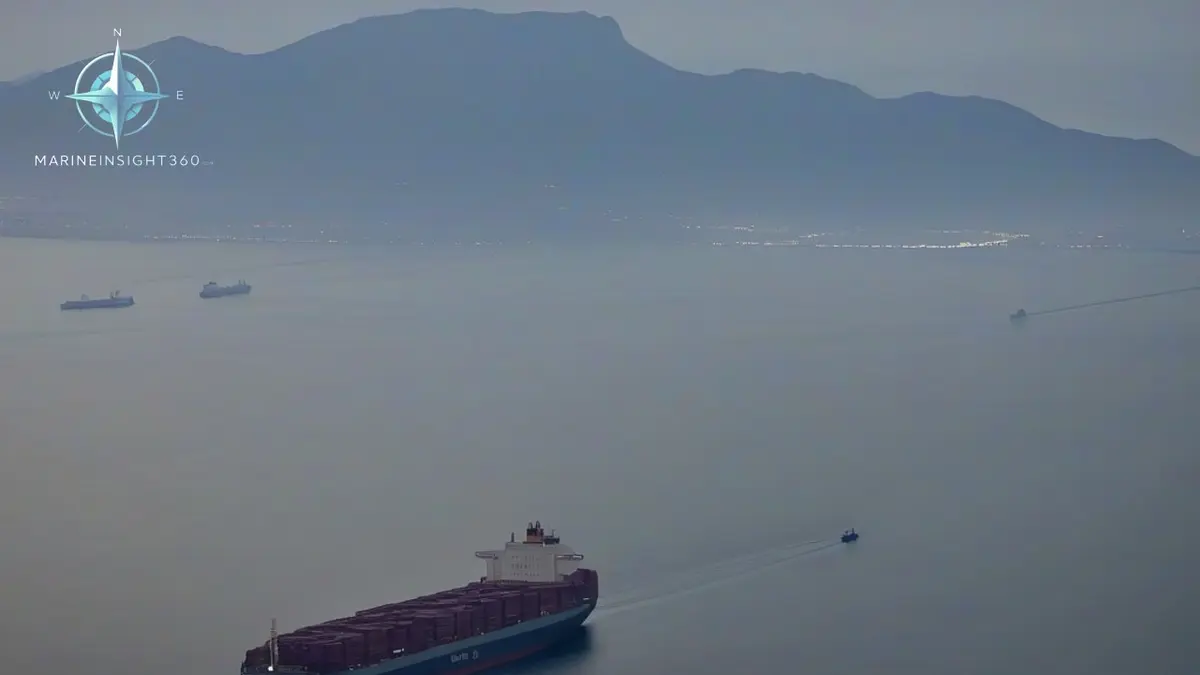
How deep is the Strait of Gibraltar? Generally between about 300 and 900 meters (roughly 985 to 2,950 ft), with the deepest water in the eastern part of the main channel. The controlling feature is not the deepest point but the Camarinal Sill, a ridge lying at roughly 280 to 300 meters about 25 km west of the narrowest section. Depth places no practical limit on merchant shipping here. Traffic density and current do.
The sill is what makes the strait interesting
The Mediterranean loses far more water to evaporation than it receives from rivers and rainfall. That deficit is made up through Gibraltar, and the Camarinal Sill is the throttle. Relatively fresh Atlantic surface water flows east into the Mediterranean over the sill, while denser, saltier Mediterranean water flows west underneath it and spills down into the Atlantic.
Because both layers have to squeeze over the same ridge, the sill controls how much water exchanges and how quickly. Strong tidal flow across it generates large internal waves that travel east into the Alboran Sea. Those internal waves are visible from space as surface bands and are one reason sonar conditions in the strait are difficult.
Dimensions a passage plan actually uses
- Length. Roughly 60 km (32 nautical miles) between the Atlantic and the Alboran Sea.
- Narrowest width. About 14 km (7.5 nautical miles) between the Spanish and Moroccan shores.
- Depth in the fairway. Several hundred meters throughout, deep enough for any commercial hull afloat.
- Sill depth. About 280 to 300 meters, well below any keel.
The consequence is that under-keel clearance never enters a Gibraltar passage plan, which makes it unlike almost every other chokepoint of comparable importance. Malacca, Suez and the Panama approaches all constrain draft. Gibraltar does not.
The current a bridge team has to plan for
The dominant surface set is eastward, into the Mediterranean, and it can be strong. Tidal streams run across that mean flow, so the resulting set and drift change through the tidal cycle and are sharpened near the narrows and around headlands. Countercurrents run close inshore on both sides at certain states of tide, which is why local craft take routes that look wrong from a chart at small scale.
Practical effects worth building into the plan:
- Speed over ground can differ from speed through water by several knots, which shifts the ETA at the pilot station and the arrival window at the next port.
- A westbound vessel punching the surface flow burns noticeably more fuel and needs more sea room for the same maneuver.
- Course to steer must be worked for the set, not eyeballed. Vessels crossing the traffic lanes are especially exposed to being carried down-lane.
Traffic is the real hazard, not water depth
Gibraltar carries a heavy volume of east-west merchant traffic through an IMO-adopted traffic separation scheme, and that flow is cut across constantly by ferries running between Spain and Morocco, by fishing vessels and by small craft. Vessel traffic services on the Spanish and Moroccan sides monitor the strait, and the arrangement of lanes and inshore traffic zones follows the transit passage regime set out in the UN Convention on the Law of the Sea.
The consistent risk pattern is crossing traffic combined with restricted visibility. Levante conditions, the easterly wind that funnels through the gap, produce a persistent cap of cloud over the Rock and frequent advection fog on the eastern side. Radar plotting and early, obvious alterations matter far more than depth data on this passage.
Wind through the gap
The strait acts as a nozzle for wind as well as water. Easterly levante and westerly poniente conditions both accelerate through the narrows, and the wind can rise sharply within a few miles. High-sided vessels feel the leeway immediately, and small craft can be caught out by the transition from sheltered water to a full gale-force funnel effect over a short distance.
For the mechanics of setting up a chokepoint passage, the Navigation and Seamanship section covers passage planning in traffic separation schemes, and the Ports and Shipping section follows the traffic that makes Gibraltar one of the busiest stretches of water in Europe.
The casualties here cluster at the anchorages rather than in the fairway. Ships lying off Algeciras and Gibraltar for bunkers drag in a levante gale, and contact between a dragging vessel and a moored one is a recurring incident on both sides of the bay. Machinery breakdown during a transit is the other pattern, because the set keeps working on a disabled ship.
The common mistake on the bridge is working a course to steer from an average set instead of the tidal state at the time of transit. A crossing vessel is carried down-lane, and the near misses reported in the strait involve ferries meeting through traffic at an angle nobody planned. Advection fog on the eastern side removes the visual check.
Sources and further reading
What to read next
Recommended Reading
How Wide Is the Strait of Gibraltar? Width, Depth and Currents
The Strait of Gibraltar is 14.2 km (7.7 nm) wide at its narrowest. Depths, the Camarinal Sill, the two-layer current and what watchkeepers plan for.

Where Is Challenger Deep? Location, Depth and Who Has Been There
Challenger Deep lies at the southern end of the Mariana Trench in the western Pacific. Its position, its measured depth, and the crewed dives that reached it.
Why Is the Strait of Gibraltar Important? The Mediterranean's Only Door
Why the Strait of Gibraltar is important: the only Atlantic to Mediterranean passage, around 300 transits a day, and what its currents mean for ships.