
Why Is the Strait of Gibraltar Important? The Mediterranean's Only Door
Why the Strait of Gibraltar is important: the only Atlantic to Mediterranean passage, around 300 transits a day, and what its currents mean for ships.
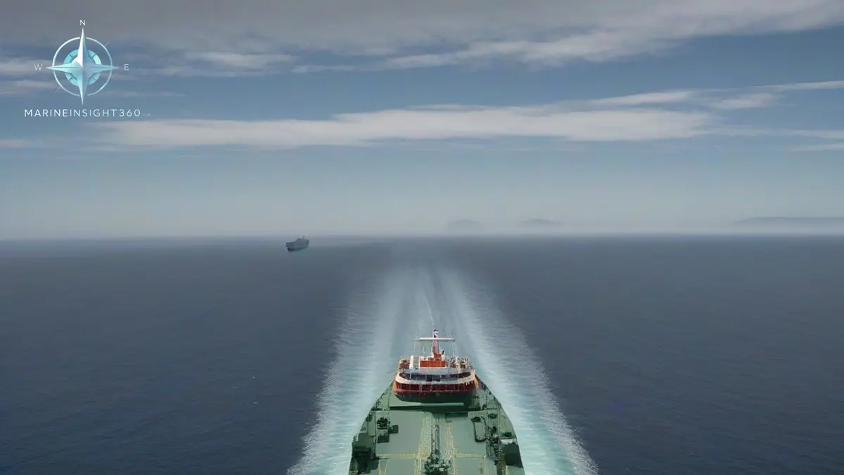
Why is the Strait of Gibraltar important? It is the only natural sea passage between the Atlantic Ocean and the Mediterranean Sea. Around 100,000 vessels transit it each year, roughly 300 a day. Between them they carry more than a tenth of global maritime trade. That trade links Atlantic ports, the Mediterranean basin and, through the Suez Canal, Asia.
Only about 13 km (8 miles) separate Europe from Africa at the narrowest point. That short stretch of water concentrates tankers, container ships, bulk carriers, ferries, fishing craft and naval traffic into one of the densest shipping areas on the planet.
The only door to the Mediterranean
Every ship trading between the Atlantic and any Mediterranean port must pass Gibraltar. There is no alternative seaway; the Mediterranean's only other exits are the man made Suez Canal at its far eastern end and the Turkish straits leading to the Black Sea.
That single door status is what gives the strait its weight. If transit were ever blocked, Atlantic traffic could not reach Mediterranean ports at all, and the Suez route between Europe and Asia would lose its Atlantic connection, forcing wholesale rerouting around Africa.
Depths in the strait reach several hundred meters, so there is no draft constraint comparable to a canal. The constraints are simply space, traffic and weather.
Why the Strait of Gibraltar matters to trade and energy flows
Analysts estimate more than a tenth of global maritime trade uses the strait, including around 3 million barrels of oil and refined products a day by some estimates, alongside container and gas traffic. Hub ports depend on it: Algeciras on the Spanish side and Tanger Med on the Moroccan side rank among the busiest container transshipment hubs in their regions, built precisely where the trade lanes cross.
Gibraltar itself has turned geography into an industry. The port is one of the Mediterranean's leading bunkering stations, refuelling ships that pause at the crossroads without deviating from their routes. Frequent ferries also make the strait one of the busiest short sea passenger corridors between two continents.
Currents, wind and traffic: navigating the strait
The strait's oceanography is unusual. Less salty Atlantic water flows in at the surface, while denser, saltier Mediterranean water flows out beneath it. Superimposed tidal streams can run strongly, so passage planning accounts for current as carefully as for traffic.
Wind funnels too. The easterly levante and westerly poniente accelerate between high ground on both shores, producing short, steep seas in what looks like sheltered water.
Traffic is managed through an IMO adopted traffic separation scheme, with ships reporting to shore based vessel traffic services on both sides. Crossing ferry traffic between Spain and Morocco cuts through the main lanes, and resident whale and dolphin populations add a wildlife avoidance dimension that watchkeepers take seriously. Fog and traffic density make radar discipline essential, and the strait is a standard case study in collision avoidance training for exactly that reason.
Three flags on one waterway
Spain and Morocco face each other across the strait, while the United Kingdom administers Gibraltar and its port at the northern entrance. The overlap of jurisdictions, together with sustained naval interest in the passage, keeps the strait strategically sensitive as well as commercially busy.
History runs deep here. Classical sailors knew the flanking heights as the Pillars of Hercules and treated them as the edge of the known world, while every naval power since has fought to hold the passage. The modern shipping lanes follow a route that has carried trade for close to three thousand years.
What it means for the industry
For operators, Gibraltar is a scheduling fact of life: a compulsory waypoint where bunker prices, weather windows and traffic density intersect. For the wider economy, it belongs on the short list of chokepoints, with Hormuz, Malacca, Suez, Panama and Bab el-Mandeb, whose disruption would reprice world trade within days.
The Ports section of Marine Insight 360 tracks the strait's hub ports, bunkering trends and traffic developments alongside the other chokepoints that shape global routing.
Sources and further reading
- Strait of Gibraltar: Gateway Between Two Worlds (GEOPOL)
- Strait of Gibraltar: Mediterranean Gateway (Ballast Markets)
- The World's Most Important Straits and Chokepoints (Mappr)
What to read next
Recommended Reading
How Wide Is the Strait of Gibraltar? Width, Depth and Currents
The Strait of Gibraltar is 14.2 km (7.7 nm) wide at its narrowest. Depths, the Camarinal Sill, the two-layer current and what watchkeepers plan for.
How Deep Is the Strait of Gibraltar? Depth, Sill and Current
How deep is the Strait of Gibraltar? Channel depths, the Camarinal Sill, the two-layer current system, and what a bridge team should plan for on transit.

Strait of Gibraltar Map: Traffic Lanes, Currents and Reporting
What a Strait of Gibraltar map shows and what it hides: the IMO traffic separation scheme, GIBREP reporting, the two-layer current system and ferry crossings.