
How Wide Is the Strait of Gibraltar? Width, Depth and Currents
The Strait of Gibraltar is 14.2 km (7.7 nm) wide at its narrowest. Depths, the Camarinal Sill, the two-layer current and what watchkeepers plan for.
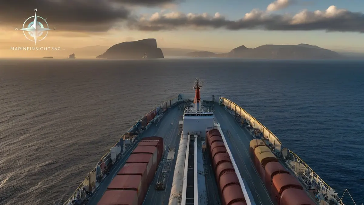
How wide is the Strait of Gibraltar? At its narrowest it measures 14.2 kilometers (7.7 nautical miles), between Point Marroqui in Spain and Point Cires in Morocco. Depths run between roughly 300 and 900 meters (980 to 2,950 ft). The shallowest constriction is the Camarinal Sill, at about 280 meters (920 ft). No commercial ship is limited by that depth. Gibraltar is a width and traffic problem, not a draught problem.
Under eight nautical miles is not much room. That width carries a traffic separation scheme with an eastbound lane, a westbound lane, a separation zone and inshore traffic zones on both sides. A watchkeeper transiting has a lane a few miles wide and deep-draught traffic in both directions. Ferries cross at right angles, fishing vessels work the edges, and a persistent surface current runs under all of it.
How wide the Strait of Gibraltar is at each point
The 14.2 kilometer figure is the minimum. The strait opens out toward the Atlantic, so the western entrance is considerably wider than the waist. The eastern entrance toward the Alboran Sea is wider again. The practical effect is that pressure on sea room concentrates in the middle section. That is precisely where crossing ferry traffic is densest and where the current runs hardest.
Ferries cross between the two continents throughout the day, with the fastest crossings taking as little as 35 minutes. Under COLREG Rule 10, a vessel crossing a traffic lane must do so on a heading as nearly as practicable at right angles to the general direction of traffic flow. That is why crossing ferries appear to cut straight across rather than angling with the flow.
Through traffic should expect that geometry and not read a crossing ferry as a converging target until the aspect is confirmed.
The two-layer current that runs both ways at once
The Mediterranean loses more water to evaporation than its rivers supply, so the basin draws Atlantic water in continuously. Less salty Atlantic surface water flows eastward into the Mediterranean, while denser, saltier Mediterranean water flows westward underneath it into the Atlantic. The net flow is eastward.
For a ship on the surface, that means a broadly eastbound set through the strait, strongest in the narrows and near the surface. Tidal streams are superimposed on it, and the combination either adds to or partially cancels the mean flow depending on the stage of tide. Eastbound ships often gain speed over ground through the strait, and westbound ships lose it. Slow or laden vessels should build that into an ETA rather than treating strait speed as free.
Internal waves at the Camarinal Sill
The sill does more than set the minimum depth. Tidal flow over it generates large internal waves that travel eastward along the density interface below the surface. They matter to submariners and to oceanographers, and they are one reason sound propagation and sonar conditions in the strait are unusually variable.
What watchkeepers actually plan for on a Gibraltar transit
- Wind: the Levanter blows from the east and accelerates through the gap, often bringing low cloud, the banner over the Rock and reduced visibility. The Poniente blows from the west and generally brings clearer conditions. Both build quickly in the narrows.
- Traffic services: a mandatory ship reporting system covers the strait, with Tarifa Traffic on the Spanish side as the principal VTS contact. Reporting points and VHF working channels belong in the passage plan, not in a scramble on the bridge at the time.
- Anchorage and bunkering traffic: Gibraltar, Algeciras and Ceuta all generate vessels maneuvering, drifting and anchoring close to the through lanes. Bunkering at anchor and drifting supply craft add targets that do not behave like transiting ships.
- Small craft: fishing vessels, recreational traffic and small unlit craft operate in and around the inshore zones. Visual lookout carries more weight here than on most deep-sea legs.
- Marine life: the strait carries resident and migrating cetaceans, and whale strike risk is a concern raised repeatedly by researchers working the area.
Why this width makes Gibraltar a chokepoint
Every ship moving between the Atlantic and the Mediterranean passes through this one gap. That places Gibraltar in the same category as the Suez Canal, the Strait of Hormuz and the Malacca Strait. It is a passage with no practical alternative. A closure or a serious incident there reroutes traffic across whole ocean basins rather than around a local obstruction.
The strait also sits at the top of one of the busiest container transhipment complexes in Europe. Algeciras and Tangier Med face each other across the water. Ships calling at either port cross the lanes to do so, adding maneuvering traffic to the through flow.
The numbers worth carrying
- Narrowest width: 14.2 km (7.7 nautical miles), Point Marroqui to Point Cires
- General depth range: 300 to 900 meters (980 to 2,950 ft)
- Camarinal Sill depth: about 280 meters (920 ft)
- Surface flow: eastward, with a deeper westward Mediterranean outflow beneath it
For the port-side picture at either end of the strait, the Marine Insight 360 Ports section covers Algeciras, Gibraltar and the western Mediterranean transhipment hubs.
Sources and further reading
What to read next
Recommended Reading
How Deep Is the Strait of Gibraltar? Depth, Sill and Current
How deep is the Strait of Gibraltar? Channel depths, the Camarinal Sill, the two-layer current system, and what a bridge team should plan for on transit.
Strait of Gibraltar Map: Traffic Lanes, Currents and Reporting
What a Strait of Gibraltar map shows and what it hides: the IMO traffic separation scheme, GIBREP reporting, the two-layer current system and ferry crossings.
Why Is the Strait of Gibraltar Important? The Mediterranean's Only Door
Why the Strait of Gibraltar is important: the only Atlantic to Mediterranean passage, around 300 transits a day, and what its currents mean for ships.