
Ship Navigation Equipment: The 30 Systems on a Modern Bridge
The ship navigation equipment a modern bridge carries, grouped by job: position fixing, collision avoidance, charts, communications, safety recorders and more.

Ship navigation equipment covers roughly thirty electronic systems on a modern bridge, and every one of them answers one of five questions: where are we, what is around us, where are we going, who can we talk to, and what happened. Group them that way and the intimidating console turns into plain logic.
Carriage requirements come from SOLAS Chapter V, which scales the mandatory list with ship size and trade. What follows is the working inventory a deck officer actually uses, grouped by the question each system answers.
Where Are We: Position and Reference
- GPS/GNSS receivers fix position continuously, usually duplicated.
- Gyro compass finds true north independent of magnetism; magnetic compass stands by as the failure-proof backup.
- Speed log measures speed through water or over ground; the echo sounder measures depth under the transducer.
- Rudder angle, rate-of-turn and RPM indicators tell the conning officer what the ship is actually doing.
What Is Around Us: Detection and Collision Avoidance
- Radar , typically an S-band and an X-band set, detects ships and coastlines in any visibility.
- ARPA , automatic radar plotting, computes other vessels' courses, speeds and closest approach.
- AIS broadcasts and receives identity, position and voyage data between ships and shore.
- Binoculars and azimuth rings survive every electronic generation, because a bearing that does not change still means collision.
Where Are We Going: Charts and Track Control
- ECDIS , the electronic chart display, has replaced paper as the primary chart on most tonnage, with a second unit or paper folio as backup.
- Autopilot with track control steers the planned route; the BNWAS watch alarm makes sure a human is still monitoring it.
- Weather routing terminals and NAVTEX bring forecasts, warnings and chart corrections to the plan.
Who Can We Talk To: GMDSS Communications
- VHF radios with digital selective calling handle bridge-to-bridge and distress traffic.
- MF/HF radio and satellite terminals extend distress and routine communications worldwide.
- EPIRB beacons float free and alert rescue authorities with a position; SARTs make liferafts visible on rescuers' radar screens; handheld GMDSS VHFs go into the boats.
What Happened: Recording and Alarms
- VDR , the voyage data recorder, is the ship's black box, capturing bridge audio, radar and sensor data for investigators.
- General and specific alarm panels concentrate machinery, fire and navigation alerts where the watch stands.
- Bells, whistle and shapes , the oldest signals in the inventory, remain legally required.
How the Bridge Fits Together
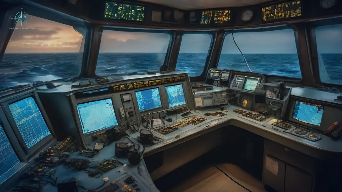
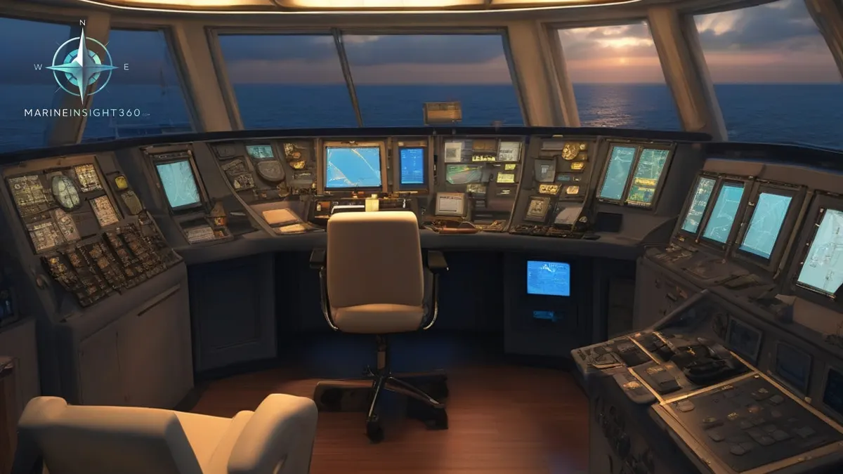
Modern integrated bridge systems merge these instruments onto shared displays, which is efficient and creates one modern risk: over-trust. Port state inspectors in the United States and Europe test the unglamorous items, the magnetic compass deviation card, the BNWAS, the backup steering positions, precisely because they matter when the integration fails. Officers train to cross-check radar against AIS against the visual bearing, since each source fails differently, and the collision regulations still assume a human looking out the window.
The Non-Electronic Survivors
SOLAS still requires equipment with no screens at all, and officers still train on it, because electronics share failure modes and the ocean does not care. The magnetic compass above the bridge works with no power whatsoever, and its deviation card is a live inspection item. The sextant survives in training and aboard many deep-sea ships, since celestial navigation is the one position source no jamming or outage touches. Paper chart folios or a second independent ECDIS cover chart failure.
The lead line, the oldest instrument on earth, still verifies depth alongside berths. And the daywork tools, azimuth mirrors, bearing repeaters and the humble notebook, keep a bridge functional through a full blackout.
The reason is not nostalgia. GPS interference is now a documented, routine hazard in several regions, and investigators in the United States and Europe have logged commercial ships with spoofed positions miles from reality. A bridge team that can fix a position by compass, radar range and a sextant sight is the redundancy the regulations quietly assume.
Examiners lean on this in orals: candidates in the United Kingdom and United States are still asked to box a compass, correct a bearing for deviation, and explain which instrument they would trust first when two of them disagree.
What to do next
The systems here connect to the rest of shipboard practice in these guides:
Recommended Reading
Ship Navigation Equipment: The 30 Systems on a Modern Bridge
The ship navigation equipment a modern bridge carries, grouped by job: position fixing, collision avoidance, charts, communications, safety recorders and more.
Marine Navigation Systems Ship Captains Use
Today, modern technology has made navigation in restricted waters a highly specialized profession. With the latest developments in navigation methods and…

Modern Ship Bridge Layout & Design
Modern Ship Bridge Layout & Design: shipboard and port-operations context for US, UK, Canada, Australia, Singapore and European maritime readers.