
Which Country Has a Man Made Canal? The Waterways That Carry World Trade
The countries with man made canals that shape world trade: Egypt's Suez, Panama's locks, Germany's Kiel and Greece's Corinth, with key facts.
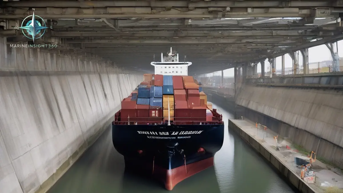
Which country has a man made canal? Many do, but a handful matter most to world trade. Egypt has the Suez Canal, Panama has the Panama Canal, Germany has the Kiel Canal and Greece has the Corinth Canal. China's Grand Canal, the longest artificial waterway anywhere, predates them all by centuries.
Each of these waterways exists for the same reason: cutting through land is cheaper than sailing around it. The savings are measured in days of steaming, tonnes of fuel and, for the canal states, billions in transit revenue.
The honest full answer is that dozens of countries have man made canals, from the Netherlands' North Sea Canal to the dredged Houston Ship Channel in the United States. The four below simply carry the traffic that moves world prices.
Egypt: the Suez Canal, the man made shortcut between Europe and Asia
The Suez Canal opened in 1869 and remains the most strategically important artificial waterway on earth. It runs about 193 km (120 miles) through Egypt between Port Said on the Mediterranean and Suez on the Red Sea.
Unlike Panama, Suez is a sea level canal with no locks, which allows continuous convoys of the largest ships afloat. Around 12 percent of global trade transits it in a typical year, and the term Suezmax describes the largest tanker dimensions that can pass fully laden.
Panama: locks that lift ships over an isthmus
The Panama Canal opened in 1914 and joins the Atlantic and Pacific oceans across about 82 km (51 miles) of Panama. Ships do not sail through at sea level; lock chambers raise them roughly 26 meters (85 feet) to Gatun Lake and lower them again on the far side.
The shortcut spares vessels the long passage around South America, cutting up to 15,000 km (8,100 nautical miles) from voyages between the US east and west coasts. A 2016 expansion added the larger Neopanamax locks, opening the route to much bigger container ships and gas carriers.
The canal has one operational weakness: it runs on fresh water. Each transit consumes lake water, so severe droughts have forced the authority to limit daily transits and draft, a constraint that now shapes scheduling across the Americas trades.
Germany and Greece: the Kiel and Corinth canals
Germany's Kiel Canal, opened in 1895, crosses the state of Schleswig-Holstein for 98 km (61 miles) and links the North Sea with the Baltic. Measured by number of transits it is the busiest ship canal anywhere, sparing coasters and feeders the longer passage around Denmark's Jutland Peninsula. A typical transit takes about eight hours.
Greece's Corinth Canal is the scenic outlier. Just 6.4 km (4 miles) long and about 8 meters (26 feet) deep, it slices the Isthmus of Corinth in a sheer walled rock cutting. It is too narrow for modern cargo ships, so its traffic today is mostly yachts, small cruise vessels and coastal craft avoiding the capes of the Peloponnese.
China and the oldest canal system of all
The Grand Canal of China stretches nearly 1,800 km (1,120 miles) between Beijing and Hangzhou, with sections dating back roughly 2,500 years. It was built for grain barges rather than seagoing ships, and much of it still carries heavy inland barge traffic.
It is a reminder that canal building is not a modern idea. States have been reshaping geography for trade advantage for as long as trade has existed.
What canals mean for voyage planning
Canal dimensions define ship classes. Panamax, Neopanamax and Suezmax are not marketing labels; they are the beam, length and draft limits of specific lock chambers and channels, and naval architects design entire fleets around them.
Costs and queues matter as much as dimensions. Transit tolls range from thousands of dollars to well over a million for the largest ships, and congestion, drought restrictions or a single grounding can ripple through global schedules within days.
Operators therefore always hold a fallback route in the plan, usually the Cape of Good Hope or Cape Horn, and weigh its extra fuel and time against tolls and risk. The Ports section of Marine Insight 360 follows the canals, chokepoints and port developments that drive these decisions.
The tolls rest on paperwork a class society issues. A Suez Canal Special Tonnage Certificate and a Panama Canal tonnage certificate are calculated to each canal's own measurement rules, not to the ship's international tonnage. Lloyd's Register, DNV, ClassNK and Bureau Veritas issue them on the canal authorities' behalf. A measurement done badly costs money on every transit for the life of the ship.
Blockage is the failure that matters. Ever Given grounded in the Suez Canal in March 2021 during a sandstorm and closed it for six days, with bank effect and squat in a narrow channel at the center of the analysis. Rockfalls from the sheer walls close the Corinth Canal for months at a time, and lock failures at Brunsbuttel have shut the Kiel Canal to larger ships.
Sources and further reading
- 5 Famous Man Made Canals Shaping Global Trade and Transport (Nautilus Shipping)
- Top 10 Canals in the World: Routes, Size Limits and Trade Stats (ShipFinex)
- Panama Canal (NASA Earth Observatory)
What to read next
Recommended Reading
The 7 Types of Cargo Ships That Carry World Trade
The seven types of cargo ships and what each carries: container ships, bulk carriers, tankers, gas carriers, ro-ro, general cargo and reefer vessels.
The Suez Canal: An Engineering Feat that Revolutionized Global Trade
Maritime transportation is essential to our daily lives as it benefits everyone around the world. Although the development of the aviation industry. Has…
UAE Suspends Trade With Iran Following Antiship Missile Strike
Find out how the UAE’s trade halt with Iran affects shipping routes, insurance, and port operations worldwide.