
Why Is the Bay of Biscay So Rough? The Physics of a Feared Crossing
Why is Bay of Biscay so rough: Atlantic swell steepening on a shallow shelf, a funnel shaped coast and winter storms, plus practical crossing advice.
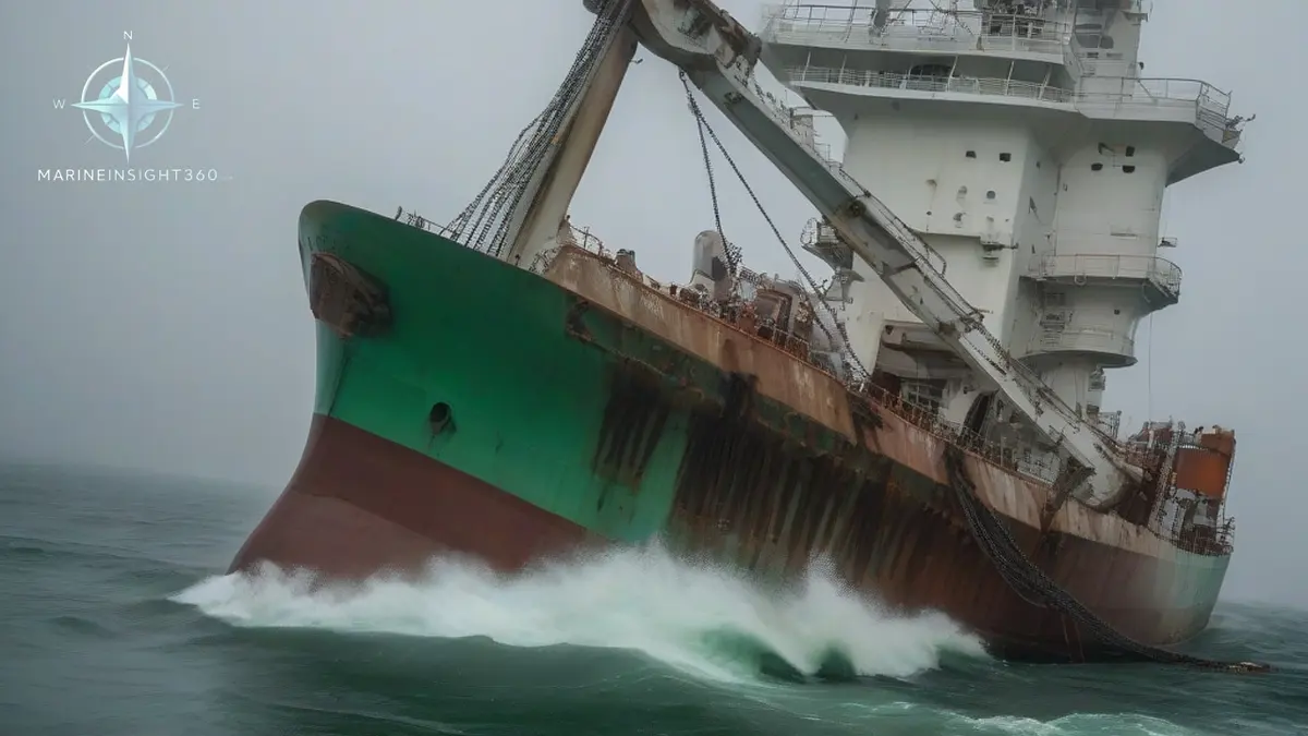
Crews running between Rotterdam, Brest and Bilbao have a standing question: why is Bay of Biscay so rough? Three effects stack together. Deep Atlantic swell runs onto a shallow continental shelf and steepens. The bay's funnel shape between Brittany and Cape Ortegal concentrates that wave energy. And the region sits directly under the track of Atlantic storm depressions. The UK Met Office Shipping Forecast gives Biscay its own sea area for that reason.
Any one factor alone makes lumpy water; combined, they build the seas that made Biscay notorious.
The bay opens westward between Brittany in France and Cape Ortegal in Spain, square across the prevailing westerlies. Ships trading between Northern Europe and the Iberian Peninsula or the Mediterranean cross it constantly, so its reputation is a matter of routing reality, not folklore.
The shelf effect: why deep water swell turns violent
Offshore, the Atlantic abyssal plain lies more than 4,000 meters (13,100 feet) down. Approaching the French coast, the seabed climbs abruptly to a continental shelf of roughly 100 to 200 meters (330 to 660 feet).
Long period swell that has travelled thousands of miles crosses that step and shoals. The waves slow, shorten, and grow taller and steeper, and in heavy weather they break. The transformation happens over a short distance, which is why conditions can change dramatically as a ship crosses the shelf edge.
A funnel aimed at the Atlantic
The bay's broad opening faces the prevailing wind and swell, and its narrowing shape concentrates wave energy toward the southeastern corner. Swell reflected and refracted around the coastline crosses fresh wind driven seas from passing fronts.
The result is the confused, multidirectional sea state sailors describe as a washing machine. Cross seas are harder on ships and crews than bigger but regular waves: they defeat a steady course and roll a vessel from unexpected directions.
Local bathymetry adds detail. Canyons cutting the shelf, such as the deep Capbreton canyon close to the French coast, bend and focus swell so that some stretches of coast see disproportionately heavy seas.
Storm track weather: when the Bay of Biscay is at its worst
From autumn through early spring, Atlantic depressions run northeast toward Europe on a track that crosses or skirts the bay. Winter storms regularly build seas above 10 meters (33 feet) here, and extreme events have produced far larger waves over the shelf edge and open bay. Forecasters watch the region closely because lows that deepen over Biscay often go on to strike France, Britain and Ireland.
Summer is a different sea. From roughly June to August the storm track shifts north, windows of settled weather stretch to a week or more, and the crossing can be genuinely calm. The bay's character is seasonal, which is why passage timing matters so much.
The graveyard reputation
The bad name predates steam. For square rigged sailing ships, Biscay was a trap: westerly gales could pin a vessel inside the bay against a lee shore with no room to claw offshore, and losses were common enough to earn the region a place in maritime legend. Engines removed the trap but not the sea state.
How ships and crews handle a Biscay crossing
- Pick the window, not the date. Modern forecasting gives several days of reliable warning of an approaching low. Delaying departure beats riding one out.
- Secure for sea before the shelf. Cargo, stores and deck gear should be lashed for open ocean from the start, because conditions worsen fast at the shelf edge.
- Respect the shelf edge in the routing. Some voyage plans stay in deep water longer or cross the shelf where the gradient is gentler, trading distance for comfort and safety.
- Watch for secondary lows. Small, fast deepening systems on a parent front can intensify over the bay with little warning and produce the worst local conditions.
Perspective from the wheelhouse
For all its reputation, Biscay is a routine crossing thousands of times a year for ferries, container ships, tankers and yachts on delivery. The bay punishes complacency rather than presence: unsecured cargo, ignored forecasts and schedules pushed into closing weather windows.
Treat it as open ocean from the moment of departure and its dangers become manageable. Practical heavy weather seamanship, cargo securing and passage planning guidance sits in the Shipboard Operations section of Marine Insight 360.
What breaks in Biscay is predictable. Lashings slacken as the ship works, deck cargo that was tight in the Channel is loose by the shelf edge, and stores, galley gear and unsecured spares go adrift below. Casualty investigators, the MAIB among them, keep finding the same root cause in heavy weather cases: lashings set at the berth and never tightened again once the ship was at sea.
Parametric and synchronous rolling are the other Biscay hazards, and both come from an encounter period that matches the ship's own roll period rather than from wave height alone. Slack tanks make it worse. Port state control officers under the Paris MoU check the cargo securing manual and the securing arrangements themselves, and a stow found shifted on arrival is written up as a deficiency.
Sources and further reading
- What is the Bay of Biscay and Why is it Feared Among Sailors? (Navigate Content)
- Why Is the Bay of Biscay So Rough? (Biology Insights)
- Safest and most comfortable route: Ireland to Spain (eOceanic)
What to read next
Recommended Reading
Is the Tasman Sea Rough? What Crews Should Expect on the Crossing
The Tasman Sea is rough for much of the year, with 3 to 4 metre swells common and storm seas above 10 metres. Why it behaves this way and how to plan for it.
Drake Passage: Where It Is, Why It's So Rough, and What Crossing It Is Like
The Drake Passage is the stretch of ocean between South America and Antarctica, famous as the roughest crossing on earth. Why it rages, and what a trip is like.
Why Is the Tasman Sea So Dangerous? Crossing the Ditch
Why the Tasman Sea is so dangerous: Roaring Forties storms, steep seas against the East Australian Current, cold water and extreme remoteness.