
Why Is the Tasman Sea So Dangerous? Crossing the Ditch
Why the Tasman Sea is so dangerous: Roaring Forties storms, steep seas against the East Australian Current, cold water and extreme remoteness.
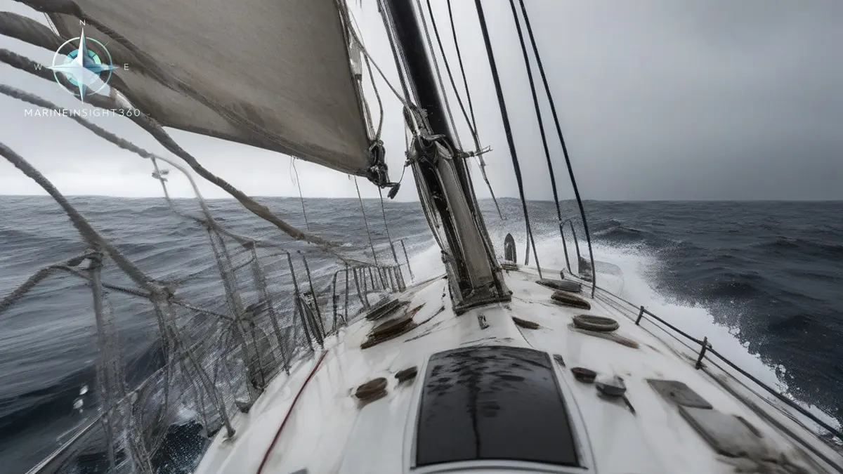
Passage planners between Sydney and Auckland keep returning to one question: why is the Tasman Sea so dangerous? The sea lies in the Southern Hemisphere's westerly storm belt, the Roaring Forties. Fast moving low pressure systems there generate gale force winds and waves above 10 meters (33 feet). Add cold water and currents that steepen the seas.
Then add the remoteness: search and rescue is split between AMSA in Australia and Maritime New Zealand across roughly 2,000 km (1,240 miles) of open water. A routine looking crossing becomes serious ocean passage making.
Sailors call the crossing the Ditch, a nickname that undersells roughly 2,000 km (1,240 miles) of open water. There are no islands to shelter behind on the direct routes, and the sea's center lies about 1,000 km (620 miles) from the nearest land.
Why the Tasman Sea turns dangerous so quickly
The sea spans latitudes where the Roaring Forties blow, the belt of strong westerlies between about 40 and 50 degrees south. With little land to slow them, these winds run huge distances over open ocean, building heavy swell that arrives even in fair local weather.
On top of that baseline, cold polar air collides with warmer subtropical air over the sea, spinning up intense low pressure systems known as Tasman lows. These can deepen rapidly, produce storm force winds, and in the worst events raise seas beyond 15 meters (49 feet).
Speed of change is the real trap. A crossing can start in sunshine and settled weather and meet a fully developed storm three days later, because weather systems cross the sea faster than slower vessels can. New Zealand's Wahine disaster of 1968, when a ferry was lost in a storm driven by an ex tropical cyclone, remains a reminder of what these systems can do when they reach the coast.
When wind fights current: the steep sea problem
The East Australian Current carries warm water south along the Australian coast into the Tasman. When storm winds blow against this flow, or against tidal streams near the coasts, waves shorten and steepen sharply.
Steep waves, not merely big ones, are what damage vessels: they break, they arrive close together and they slam hulls instead of lifting them. The Tasman produces this geometry regularly, which is why experienced crews respect it more than its size on a chart would suggest. Bass Strait, on the sea's western edge, shows the same physics in shallower water and has its own hard earned reputation among ocean racing crews.
Remoteness and cold water raise the stakes
Distance changes the arithmetic of every emergency. In mid Tasman, a vessel is beyond helicopter rescue range, and assistance means diverting ships or long range aircraft coordinated by Australian and New Zealand rescue authorities. Help is measured in days, not hours.
The water compounds it. Surface temperatures of roughly 12 to 15 C (54 to 59 F) across much of the sea limit survival time for anyone immersed without protective equipment. Liferafts, immersion suits and reliable communications are not formalities on this crossing. Yacht rescues in the Tasman have involved some of the longest range operations either country's rescue services have mounted.
Crossing the Tasman: timing and preparation
- Choose the season. Summer, from roughly December to February, offers the most settled windows, though it never guarantees them and adds tropical cyclone remnants to the watch list in the north.
- Plan around systems, not dates. Crossings of five days or more will meet whatever develops, so departure timing aims to take the worst weather at the safest point of the passage.
- Prepare the vessel for storm conditions. Weather routing, secured cargo and deck gear, tested bilge systems and drilled heavy weather procedures are the baseline, not the maximum.
- Maintain communications. Position reporting and long range comms shorten rescue response across an area where nobody will stumble across a casualty.
Respect, not fear
Commercial traffic crosses the Tasman continuously, and well found vessels with well prepared crews make the passage safely year round. The sea's danger lies in its combination of fast weather, steep seas and deep isolation rather than in any single extreme.
Treat it as a Southern Ocean apprenticeship: plan conservatively, watch the synoptic charts daily and hold options open at both ends. Passage planning and heavy weather guidance for ocean crossings sits in the Knowledge Base at Marine Insight 360.
Sources and further reading
- Is the Tasman Sea Rough? And the best time to cross it (Improve Sailing)
- Tasman Sea Guide: Geography, Storms and Marine Life (Geography Worlds)
What to read next
Recommended Reading
Is the Tasman Sea Rough? What Crews Should Expect on the Crossing
The Tasman Sea is rough for much of the year, with 3 to 4 metre swells common and storm seas above 10 metres. Why it behaves this way and how to plan for it.
Why Is the Bay of Biscay So Rough? The Physics of a Feared Crossing
Why is Bay of Biscay so rough: Atlantic swell steepening on a shallow shelf, a funnel shaped coast and winter storms, plus practical crossing advice.
What Is CDC in Shipping? Certain Dangerous Cargo Explained
CDC in shipping means Certain Dangerous Cargo under US Coast Guard rules. What is on the list, the notice of arrival duties, and how it changes a port call.