
Whale Atlas: Safer Whale Navigation Worldwide
Whale Atlas: Safer Whale Navigation Worldwide: technology, equipment and fleet context for US, UK, Canada, Australia, Singapore and European maritime...
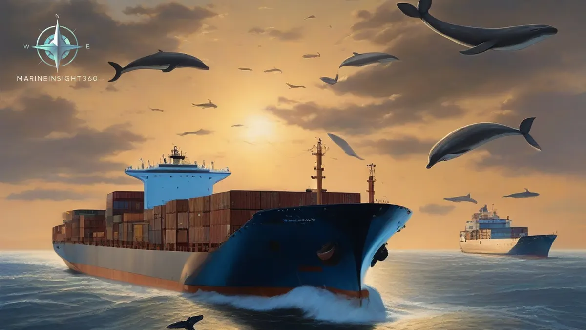

Whale Atlas: A User-Friendly Mapping Tool for Safer Whale Navigation Around the World
Whale Atlas is an online portal built by the California Marine Sanctuary Foundation and the Blue Whales and Blue Skies team. It maps the whale conservation measures that apply to shipping worldwide — speed-reduction zones, areas ships are asked to avoid and traffic separation schemes — with the season and the species each one protects.
2025 was a turbulent year for large whales in California and beyond. At least eight gray whales were killed by ship strikes along the Gulf Coast alone. While most ship strikes go undetected, researchers estimate that approximately 80 endangered whales die each year off the U.S. West Coast.
This reality prompted the creation of a new online portal that provides digital details of whale sanctuaries, making it easier for mariners planning international voyages to understand and comply with whale conservation measures.
Background
In many parts of the world, areas of heavy shipping overlap with whale feeding grounds and migration routes. Maritime managers aim to reduce collision risks by slowing ships or requiring them to avoid specific areas at certain times of the year.
For the past decade, the Blue Whales and Blue Skies (BWBS) initiative has been working with shipping companies to urge them to voluntarily reduce ship speeds off the California coast to a safer level for whales 10 knots or less during peak whale migration season. Programs like BWBS, designed to verify compliance with the U.S. National Oceanic and Atmospheric Administration (NOAA) Voluntary Vessel Speed Reduction (VSR) requirements, work in partnership with industry and have been proven to effectively reduce the risk of fatal collisions by 50%.
Deciding where and when ships should slow down is just as important as reducing speed. Resource managers use the latest available scientific technology to determine where and when to establish VSR zones.
Promoting global awareness and cooperation on whale conservation measures
Programs and conservation measures designed to reduce the impact of shipping on whales exist around the world, including in the Strait of Gibraltar, the Hellenic Trench, the Bering and Salish Seas, Costa Rica, the Gulf of Panama, the Hauraki Gulf, the Gulf of St. Lawrence, and the Canadian Arctic.
The World Shipping Council released its inaugural Whale Mapping Report in 2023 and 2024, compiling and identifying global whale conservation measures aimed at providing opportunities for seafarers to mitigate impacts on biodiversity. These measures include vessel safety patrols (VSRs), keep-at-safety zones (ATBAs), and traffic separation schemes (TSSs), all of which are designed to guide ships to reduce speeds when travelling within or away from critical whale habitats.
Recognising the importance of making this valuable information more interactive and user-friendly, the California Marine Sanctuary Foundation (CMSF) and the BWBS team developed an online platform to provide mariners with easy access to essential information to understand, participate in, and cooperate with whale conservation measures.
- What does Celestial Navigation do?
- How Are Navigation Lights Maintained On Ships?
- How Does A Wind Indicator Help With Navigation?
- Compass Keeper: The Essential Role of the Binnacle in Maritime Navigation
CMSF is proud to present "Whale Atlas: A Mariner's Guide to Safe Whaling."
This new online portal presents a digital overview of whale sanctuaries and conservation measures relevant to maritime activities. It includes the following information:
Global Vessel Safety Zones (VSRs), Keep-at-Safety Zones (ATBAs), and Traffic Separation Schemes (TSSs).
Area designations and criteria, including the whale species they protect.
Seasonality of whale conservation.
Action details (speed to be reduced; target vessel class or size).
The Whale Atlas, where the Monterey Bay National Marine Sanctuary was selected as part of the National Oceanic and Atmospheric Administration (NOAA) Voluntary Vessel Speed Reduction (VSR) application and California's "Blue Whale Blue Skies" program.
Whale sanctuaries are areas where mariners are required to reduce speed or avoid critical habitat for several months or year-round. The Whale Atlas provides this information, along with information on issuing/managing agencies, so mariners can expand their geographic scope, understand more sustainable business opportunities, download layers in appropriate formats, and incorporate measures into their shipping plans.
The CMSF and BWBS teams will regularly update the data to ensure the sanctuary remains current as guidance, data, and priorities evolve. Shipping is a global industry, and the Whale Atlas brings us closer to ensuring mariners adhere to whale-friendly shipping practices worldwide.
Why almost every measure lands on 10 knots
Speed is the variable because lethality is not linear in it. The chance that a collision kills the animal drops steeply between roughly 15 and 10 knots. That is why measures written by different agencies in different oceans converge on the same number.
The cost is schedule, and it is arithmetic a master can do on the bridge. A 100 nautical mile zone takes 10 hours at 10 knots. The same zone takes about 7 hours at 14 knots. So the measure costs around three hours. Fuel burn falls sharply at the lower speed, which recovers part of that.
Voluntary and mandatory are not the same measure
The West Coast programme described here is voluntary. It works through recognition and incentive payments. On the US East Coast the equivalent for North Atlantic right whales is a rule, not a request. Vessels of 65 feet and over must keep to 10 knots or less inside seasonal management areas.
Areas to be avoided and traffic separation schemes are a third category. They are routeing measures adopted through IMO under SOLAS Chapter V. That is what puts them on the chart. It also makes them enforceable through the flag state rather than by persuasion.
Reporting is where the system fails. A large ship rarely registers a strike from the bridge. Most incidents are therefore never logged, and only a fraction of the animals killed drift ashore to be counted. Some are found on arrival draped across the bulbous bow. That is the first anyone aboard knew of it.
Recommended Reading
Ship Navigation Equipment: The 30 Systems on a Modern Bridge
The ship navigation equipment a modern bridge carries, grouped by job: position fixing, collision avoidance, charts, communications, safety recorders and more.
Dead Reckoning Navigation Technique (Maritime Position Calculation) At Sea
Dead Reckoning Navigation Technique (Maritime Position Calculation) At Sea: technology, equipment and fleet context for US, UK, Canada, Australia,...
How does a nautical almanac help navigation at sea?
How does a nautical almanac help navigation at sea?: technology, equipment and fleet context for US, UK, Canada, Australia, Singapore and European...