
The Gulf of Oman: Geography, Shipping Lanes and What Transiting Crews Plan For
The Gulf of Oman links the Strait of Hormuz to the Arabian Sea. Here is its geography, traffic separation scheme, ports and the transit risks crews plan for.
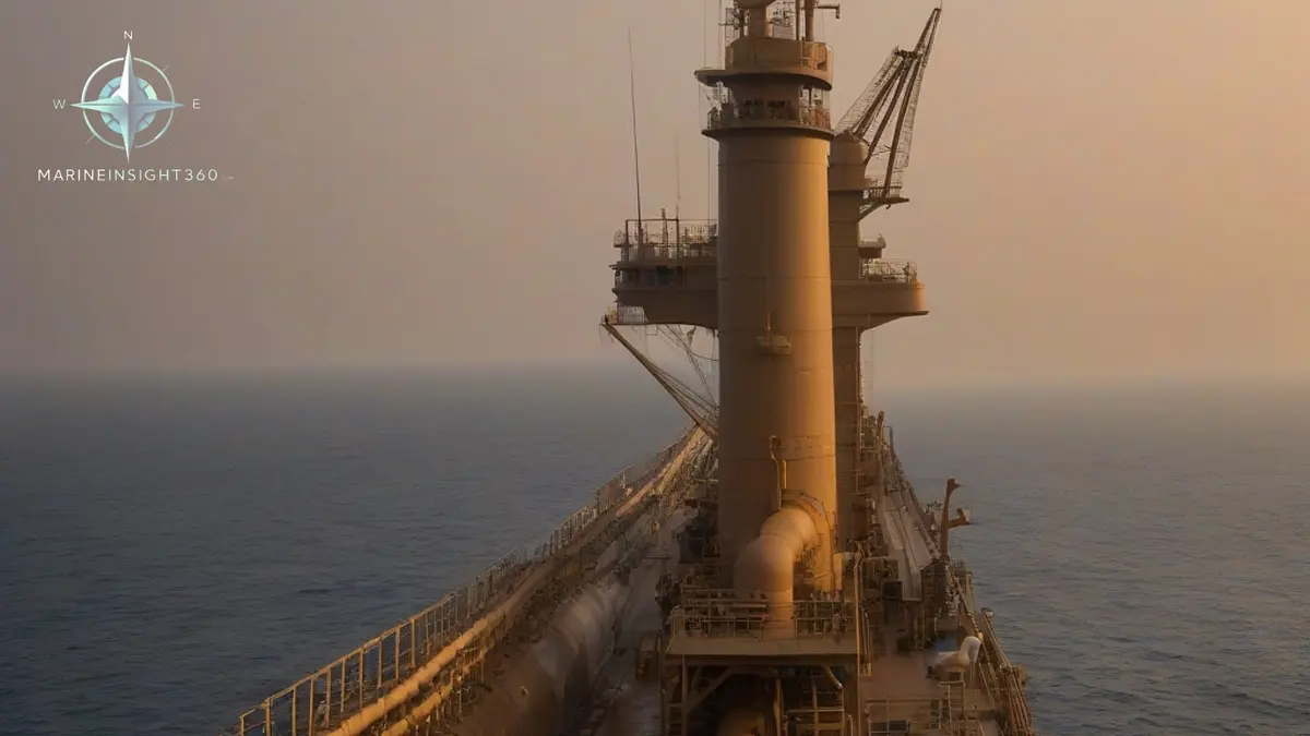
Where the Gulf of Oman is and why it matters
The Gulf of Oman is the stretch of sea that connects the Strait of Hormuz to the Arabian Sea, with Iran along its northern shore and Oman and the United Arab Emirates to the south and west. Every cargo leaving or entering the Persian Gulf by sea passes through it. That single fact explains the traffic, the port development and the security attention the area attracts.
At its northwestern end the water narrows into the Strait of Hormuz, which is about 39 km (21 nautical miles) wide at its narrowest point between Iran and the Musandam Peninsula. Roughly 17 million barrels of oil a day move through the strait, alongside a large share of the world's seaborne liquefied natural gas.
The traffic separation scheme through Hormuz
Traffic through the strait follows a scheme recognized by the International Maritime Organization, the United Nations agency that sets global shipping rules. It consists of an inbound lane and an outbound lane, each about two nautical miles wide, separated by a two mile buffer zone.
The lanes sit largely within Omani territorial waters, and vessels use them under the transit passage regime of international law. Two operational consequences follow. First, the sea room either side of a lane is limited, so an unplanned course change is expensive. Second, the traffic mix is unusually wide: very large crude carriers, LNG carriers, container ships, dhows, fishing craft and warships all share the same corridor.
Depths, weather and the physical picture
The gulf deepens toward its southeastern end where it opens into the Arabian Sea, and shoals toward the strait. Depth is rarely the constraint. Weather and water temperature usually are.
- Summer heat: sea water temperature in the area is among the highest in any commercial trading region. Central cooling systems, charge air coolers and reefer plant all lose margin, and engineers routinely see main engine load limited by scavenge air temperature.
- Dust and haze: shamal winds carry dust that cuts visibility sharply and coats deck machinery and air filters.
- Southwest monsoon: from June to September the outer approaches near the Arabian Sea see strong winds, swell and reduced visibility, which matters most for smaller vessels and for anchorage work off the Omani coast.
- Marine growth and fouling: warm, high salinity water accelerates hull and sea chest fouling, particularly during long waits at anchor.
Ports and the bunkering picture
Fujairah sits on the Gulf of Oman coast of the United Arab Emirates, outside the strait, and that position is the reason it grew into one of the largest bunkering and storage hubs in the world. A cargo owner can lift fuel or discharge crude without exposing the vessel to a Hormuz transit at all, which is also why a pipeline runs across the peninsula to Fujairah from the Abu Dhabi fields.
Sohar in Oman handles containers, bulk and petrochemicals on the same coast. Further southeast, on the Arabian Sea proper, Duqm and Salalah extend the same logic of a Gulf free routing. Iranian ports on the northern shore, including Bandar Abbas and Jask, sit inside a separate commercial and sanctions environment that most international operators handle through compliance screening rather than routine call planning.
Security reporting and how crews actually handle it
The Gulf of Oman falls inside the voluntary reporting area monitored by the United Kingdom Maritime Trade Operations office, and vessels transiting normally report entry, position and departure. Industry guidance for the region is published as Best Management Practices for maritime security, which merged earlier counter piracy and Gulf specific guidance into a single document.
Practical measures on board follow that guidance rather than improvisation:
- Complete a voyage specific threat and risk assessment, and record it under the ship security plan required by the ISPS Code.
- Increase bridge and deck watchkeeping, including a dedicated lookout astern, and brief the crew on the mustering plan and the citadel if one is fitted.
- Expect satellite navigation interference. Jamming and position spoofing have been reported near the strait, so cross check GNSS against radar parallel indexing, visual bearings and the echo sounder.
- Treat unidentified small craft approaches and unmanned surface or air vehicles as reportable events, and log them.
- Keep the hull and freeboard hardened as far as the vessel type allows, and control the AIS transmission policy in line with company instructions and flag state guidance.
Planning a Gulf of Oman transit
Passage planning here rewards specifics. Fix the transit window so the narrowest part of the strait is taken at a manageable traffic density where charter terms allow. Confirm the latest navigational warnings and maritime security charts before departure, not after arrival at the pilot station. Brief the engine room on cooling water limitations before the vessel is inside the lane, because a slowdown mid strait is the least useful time to discover a temperature limit.
Finally, record everything. Reporting timelines, security drills and incident logs from this area are among the first documents examined by charterers, insurers and port state control if anything goes wrong.
The reporting chain is worth knowing by name. UKMTO runs the voluntary reporting scheme from Dubai and is the first call for a suspicious approach, a drone sighting or satellite navigation interference, while the Joint Maritime Information Center in Bahrain publishes threat assessments for the same waters. Reports feed the picture other ships receive, so a silent transit degrades the warning everyone else plans on.
The routeing scheme itself has an owner. COLREG Rule 10 applies to traffic separation schemes adopted by the IMO, which is what gives a charted lane legal force rather than advisory status. Port state control officers in the region examine the ship security plan, the drill records and the reporting log after a transit, and gaps in those documents are the usual finding.
Sources and further reading
- Britannica: Strait of Hormuz
- Strauss Center: Strait of Hormuz Geography
- Strauss Center: About the Strait of Hormuz
What to read next
Recommended Reading
How Many Ports Are There in Oman, and Which Ones Matter to Shipping
Oman has eight ports of commercial weight, but three carry the trade. A guide to Sohar, Duqm, Salalah and the terminals behind them.
The $20 Billion US Plan to Reinsure Maritime Losses in the Gulf, Explained
The US will reinsure maritime losses in the Gulf up to about $20 billion. How the DFC facility works, what it covers, and why owners are still holding back.
Bulgarian Shipping Company Denies Ship Damage: The Vezhen Cable Case and What Crews Should Learn
A Bulgarian shipping company denied its ship deliberately damaged a Baltic cable. The Vezhen anchor case and the securing checks that prevent a repeat.