
Strait of Hormuz Risks: What Shipping Faces in the Current Crisis
Strait of Hormuz risks now include direct attacks, mass GPS jamming and war risk premiums near 10 percent of hull value. What operators must plan for.
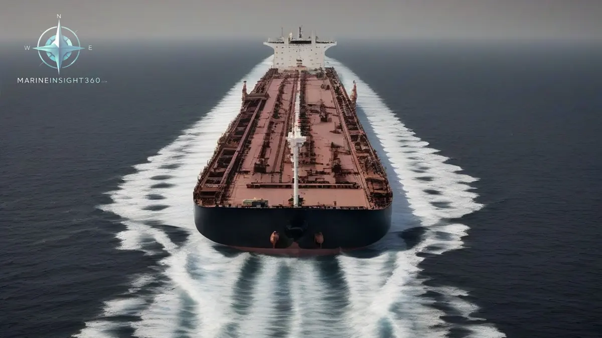
Strait of Hormuz risks have moved from elevated to critical. The 2026 operational picture is unlike anything commercial shipping has planned for in that waterway. Joint advisories issued through UKMTO rate regional maritime risk as critical, and the Lloyd's Joint War Committee keeps the Gulf on its listed areas. War risk insurance has moved to between 7.5 and 10 percent of hull value.
Reported daily transits have fallen to single figures against a normal flow of roughly 138 ships a day. Operators in the United States, the United Kingdom, Greece and Singapore now need a documented position on whether to transit at all.
Why Hormuz has no substitute
The strait is about 21 nautical miles (39 km) wide at its narrowest point, and the traffic separation scheme runs through Omani territorial waters. There is no international high seas corridor to fall back on.
Around a fifth of global oil consumption normally passes through it, together with a large share of seaborne LNG loaded in Qatar. Bypass pipelines exist but do not come close to matching that volume. The Saudi east-west line to the Red Sea and the Emirati line to Fujairah together handle a fraction of normal strait throughput.
That arithmetic is why a Hormuz disruption prices differently from a Red Sea disruption. Ships diverting from the Red Sea can round the Cape. Cargo loaded inside the Gulf has no second exit.
What the current threat picture looks like
Advisories issued in 2026 describe attacks against commercial shipping as likely and operating conditions as highly hazardous. The threat set is broader than piracy or drone harassment.
- Direct attack on merchant hulls. Missile and drone engagements against ships in transit and at anchor.
- Mine risk. Drifting and moored mines are a persistent concern in shallow, confined water.
- Seizure and boarding. Vessels have historically been detained in and around the strait during periods of tension.
- Electronic interference. More than 1,100 vessels have been reported affected by GPS and AIS disruption in the region.
The cost of a transit right now
War risk cover is priced as an additional premium on hull value for a fixed period, usually seven days, on top of ordinary hull and machinery cover.
Before hostilities, a tanker valued at 100 million US dollars might attract an additional premium near 250,000 US dollars for a transit. Reported figures during the current crisis run from 3 million to 10 million US dollars on the same hull. That single line item can exceed the freight earned on the voyage.
Charterparties matter as much as premiums. Conwartime and Voywar clauses give owners the right to refuse a voyage into a dangerous area and to recover additional premiums and crew bonuses. Whether the charterer or the owner carries that cost is decided by the wording agreed before the crisis, not during it.
Navigating through GPS jamming
Jamming and spoofing have degraded position fixing across the Gulf and the Gulf of Oman. AIS plots have shown hundreds of vessels clustered on false positions, which corrupts the traffic picture for everyone including ships that are not themselves affected.
The countermeasures are traditional and they work:
- Fix by radar parallel indexing and visual bearings against charted features, and cross-check the GNSS position rather than trusting it.
- Run the echo sounder continuously and compare soundings against the chart as an independent check.
- Keep the gyro and magnetic compass comparison current, and log heading errors.
- Treat ECDIS position as suspect when the GNSS integrity alarm activates, and be prepared to navigate on radar overlay alone.
- Brief the bridge team that AIS targets may be false or displaced, so collision avoidance decisions rest on radar and visual observation.
Crews that have not practised non-GNSS coastal navigation recently should run it as a drill before entering the region, not during the transit.
Crew rights and obligations in a warlike operations area
When a joint industry body designates a warlike operations area, standard collective agreements are triggered. Under IBF terms, seafarers are typically entitled to a bonus equal to basic wage for the period, doubled death and disability compensation, and the right to refuse to sail into the area with repatriation at the company's cost.
Owners have obligations that run alongside. Crews must be informed before the vessel enters, not after, and the refusal right has to be genuine rather than nominal. Manning agents and masters should record the notification and any refusals in writing.
Practical transit planning
Operators still transiting should build the passage plan around a short list of decisions: register with UKMTO and follow the current joint advisory, confirm war risk cover and notification requirements with underwriters before sailing, set hardening and citadel arrangements to current guidance, and agree in advance who has authority to abort the transit.
Timing and station keeping matter more than usual. Reduce time in the narrowest section, avoid loitering at anchorages near the strait, and keep sufficient sea room from naval activity.
The wider picture for charterers is that Gulf-loaded cargo now carries a risk premium that has to be priced at fixture rather than absorbed later. Marine Insight 360's Shipboard Operations section covers passage planning and security procedures for high risk areas.
Sources and further reading
- Critical Threat Persists in Hormuz as Attacks and GPS Jamming Shake Shipping (gCaptain)
- JMIC Advisory Note, Regional Risk Level Assessment (UKMTO)
- Shipping insurance surges again as attacks intensify over Strait of Hormuz (The National)
- How shipping insurance rates are rising as Hormuz, Bab al-Mandeb shut down (Al Jazeera)
What to read next
Recommended Reading
Strait of Hormuz: What a War Ending Without a Reopening Means for Shipping
The Strait of Hormuz stays shut because war risk and P&I cover, not politics, gate transits. What the closure means for tankers, bunkers and crews.
Iran's Strait of Hormuz Maritime Zone Claim and What It Means for Shipping
Iran claims regulatory control over the Strait of Hormuz. Here is what transit passage law says, how traffic has collapsed, and what masters should do.
Iran Imposes New Shipping Rules in the Strait of Hormuz: What Transit Now Requires
Iran now demands 48 hours notice, insurance proof and a 40 question form to transit the Strait of Hormuz. How the rules clash with UNCLOS transit passage.