
The World's Major Sea Routes: Where Global Trade Actually Sails
The sea routes that carry world trade: Asia-Europe, transpacific, transatlantic and the chokepoints they squeeze through, from Suez to Malacca to Panama.
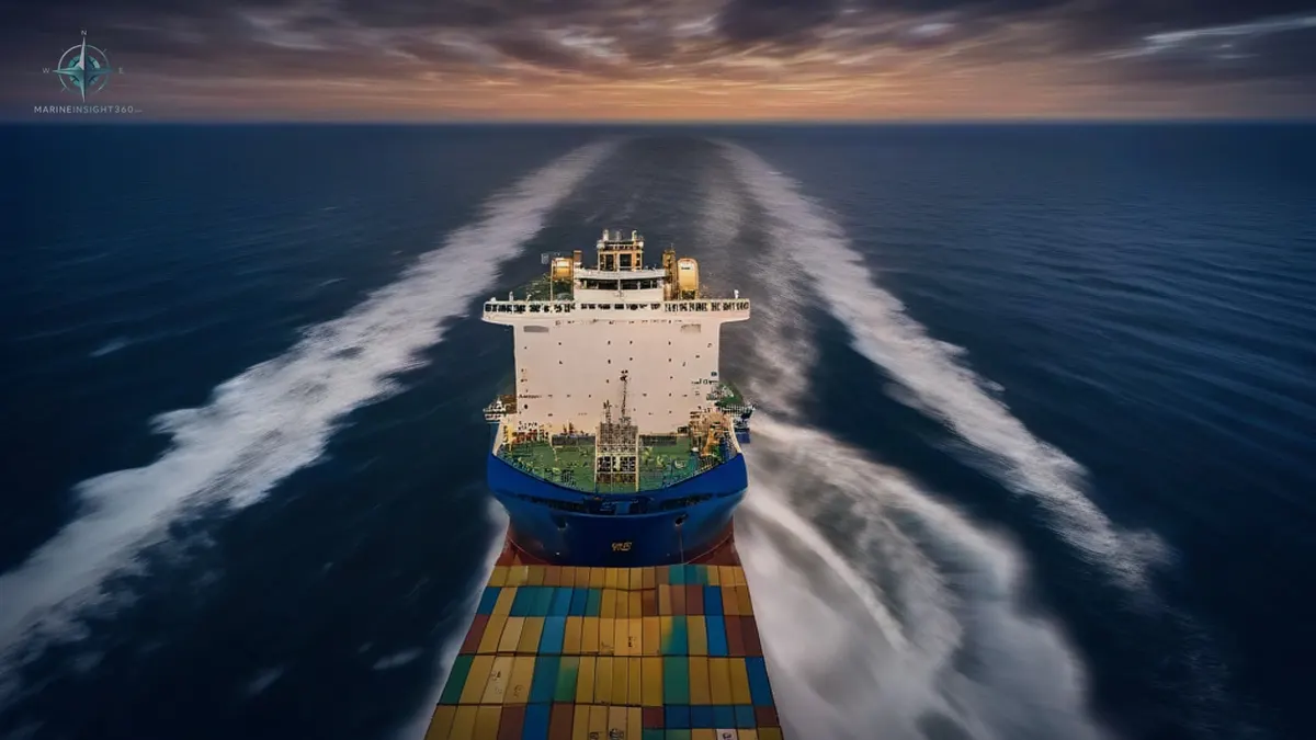
A loaded VLCC heading west out of the Persian Gulf is too deep for the Suez Canal, so the giants take the long way around Africa.
Ships are free to sail anywhere the water is deep enough, and traffic concentrates ruthlessly anyway. Distance, fuel, canal fees, weather and insurance push vessels onto the same great-circle tracks their competitors use, which is why a map of live ship positions looks like highways drawn on the ocean. Sea routes are the established corridors merchant ships follow between the world's producing and consuming regions.
A handful of them, Asia to Europe, the transpacific, the transatlantic and the energy lanes out of the Middle East, carry the bulk of global trade, and nearly all of them squeeze through a short list of narrow chokepoints.
The three big container corridors
- Asia to Europe: out of Chinese, Korean and Southeast Asian ports, through the Strait of Malacca, across the Indian Ocean, up through Suez and the Mediterranean to Northern Europe. Premier container artery, and the one most exposed to Red Sea disruption.
- Transpacific: East Asia to North America's West Coast, Los Angeles, Long Beach, Oakland, Seattle and Vancouver, with all-water services continuing through Panama to the US Gulf and East Coast.
- Transatlantic: Northern Europe to the North American East Coast. Oldest of the great liner trades, and still dense with container, ro-ro and cruise traffic.
The energy and bulk lanes
Crude tankers stream out of the Persian Gulf through the Strait of Hormuz, splitting east to Asia and west toward Suez or the Cape. Bulk carriers draw different lines: iron ore from Australia and Brazil to Asian steel mills, grain from the US Gulf, Brazil and the Black Sea to buyers everywhere, coal and LNG on their own dedicated circuits.
The Chokepoints That Rule Everything
- Strait of Malacca: the funnel between the Indian and Pacific Oceans, among the busiest waterways on Earth.
- Suez Canal: the shortcut that saves Asia-Europe voyages thousands of miles; its closure or avoidance reroutes world trade around the Cape within days.
- Panama Canal: links the Atlantic and Pacific and sets its own vessel-size classes; drought-driven draft limits ripple straight into freight rates.
- Strait of Hormuz: the world's most important oil artery, with a large share of seaborne crude passing one narrow gap.
- Bab el-Mandeb and the Red Sea: the southern gate to Suez, where security decides whether the shortcut is usable at all.
- Gibraltar, the Bosporus and the Danish Straits: the Mediterranean's door, the Black Sea's only exit, and the Baltic's outlets.
Every one of these is a single point of failure, which is why war-risk premiums, piracy reports and canal politics move freight markets as sharply as supply and demand do.
The map is stable, not static
When the Red Sea becomes dangerous, Asia-Europe services swing around the Cape of Good Hope. That detour of several thousand nautical miles adds ten or more days per voyage, burns proportionally more fuel, and soaks up fleet capacity worldwide as every rotation lengthens.
When Panama runs short of water, carriers either lighten loads or sail east instead. In the Arctic, the Northern Sea Route along Russia's coast offers a dramatically shorter Asia-Europe passage for part of the year, though ice, insurance and politics keep it a niche rather than a highway. Route planners in the United States and Europe now treat these diversions as standing scenarios, not surprises.
The corridor is fixed, the line is not
Inside each corridor, voyages still get tuned ship by ship. Ocean passages follow great-circle tracks, the genuinely shortest lines on a sphere, bent by weather routing services steering ships around storm systems, against-the-current stretches and seasonal hazards. A North Atlantic crossing rides further south in winter than in summer, and a transpacific track shifts with the typhoon season. Fuel prices push fleets between fast steaming and slow steaming across whole years.
Economics fixes the corridor; the exact line across it is redrawn for every departure, and a good routing decision routinely saves a ship days of time and hundreds of tonnes of fuel.
The ships and waters on these routes have their own guides
Recommended Reading
Container Tracking: How Shippers Actually Follow a Box Across the Ocean
How container tracking works, from free carrier lookups to visibility platforms: what each tool layer does, what it costs, and how to pick for your volume.
Ship Mast: What the Tallest Structure on Board Actually Does
What a ship mast does on a modern vessel: the lights, antennas and radar it carries, the types you will see, and why the old sailing word never left the fleet.
Ro-Ro Ships: How Roll-On Roll-Off Vessels Work and Why They Dominate Vehicle Trade
How ro-ro ships work: ramps, decks and lane meters, the difference between PCTC, ConRo and RoPax types, and the stability risks unique to roll-on roll-off.