
Cruise Ship Tracker Guide: How to Follow Any Ship in Real Time
How a cruise ship tracker works and how to use one: AIS positions, webcams, port schedules, and the honest limits of live maps when a ship crosses an ocean.
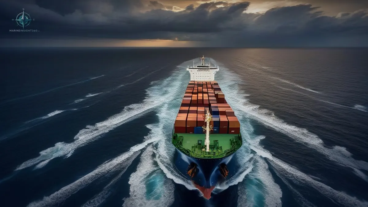
A cruise ship tracker is a live map that shows where a ship is right now. It works on AIS, the automatic identification system every large vessel broadcasts. Type a ship's name, and you get position, speed, course, and usually the next port, all from signals the ship itself is transmitting.
People track cruise ships for practical reasons. Family follow a relative's voyage. Passengers check whether their ship will make port on time. Cruise fans simply enjoy watching the fleet move around the map. The tools are free for all of that.
How the Tracking Actually Works
AIS transponders broadcast a ship's identity, position, course and speed every few seconds. Near coasts, shore stations pick up the signal; mid-ocean, satellites do. Tracking platforms collect those feeds, plot every vessel on a map, and layer on ship details, photos, and port schedules. The system exists for collision avoidance and was never designed as a public entertainment feed, which explains its one honest limitation: coverage.
Coastal positions update in near real time, while deep-ocean satellite positions can lag by minutes to hours depending on the platform's satellite access.
What the Major Platforms Offer
- General vessel maps such as MarineTraffic and VesselFinder track every ship type, cruise ships included. Free live maps come standard, and paid tiers add satellite coverage and history.
- Cruise-focused sites such as CruiseMapper add itineraries, deck plans, port timetables and news on top of the position feed. That makes them the comfortable choice for passengers.
- Cruise line apps often show your own ship's position during a sailing, wrapped in the line's itinerary and onboard information.
- Port webcams complete the picture: harbor cameras in the big embarkation ports let you literally watch a ship arrive or sail.
Following a Ship Well
Search by the exact ship name, since fleets recycle similar names across classes. Check the timestamp on the position, because a map pin is only as fresh as its last update. A ship shown motionless mid-Atlantic usually has a stale satellite fix, not a breakdown. Cross-check the itinerary too. A tracker tells you where the ship is, and the schedule tells you where it should be. The interesting information lives in the difference.
For arrival-day planning, the port's own schedule beats the map, because berthing time, not position, decides when passengers walk off.
What Tracking Cannot Tell You
A tracker will not show cabin-level information, onboard events, or why a ship changed course. It shows the change and leaves the explanation to the cruise line. Weather diversions are common in the Caribbean hurricane season and Atlantic winter, and a rerouted ship is normally a well-run ship, not an emergency. Families in the United States and United Kingdom sometimes worry over a routine course change.
Often it is simply the master avoiding a swell that would have ruined dinner service. When something genuinely matters, the cruise line's official communications are the source of record, and the map is context.
A Practical Routine for Cruise Week
Families get the most from a tracker with a light routine rather than constant refreshing. Check the map once in the morning against the itinerary's port for the day. A ship alongside by breakfast local time is a voyage running normally. On sea days, expect long quiet stretches of steady course and speed. Read nothing into a position that has not updated for a few hours mid-ocean, since satellite gaps are routine. Around arrival days, switch sources.
The port schedule and the terminal's own site say when passengers actually disembark. For airport pickups, that matters far more than the ship's dot on a map.
Passengers aboard can play too. Most lines' apps show the ship's position without an internet package, and a balcony plus a tracker turns a transatlantic crossing into a geography lesson. The one thing nobody should do is plan tight connections off a live map. Build the buffer, because the map reports the voyage rather than commanding it. Seasoned cruisers keep one more habit.
They screenshot the itinerary before sailing, because line apps occasionally revise pages mid-voyage and the original plan is the useful baseline.
What to do next
Tracking curiosity pairs well with these guides:
Recommended Reading
Container Tracking: How Shippers Actually Follow a Box Across the Ocean
How container tracking works, from free carrier lookups to visibility platforms: what each tool layer does, what it costs, and how to pick for your volume.
Best Submarine Movies of All Time
Submarines are essentially the movie set of thrillers: dim red lights on the bridge, reflective surfaces dripping with water. Above all, submarines are…
Understanding Cruise Ship Hull Design
Cruise ships rely on hull shapes that blend form with function. Designers pick shapes to cut through water with less effort. This boosts speed and cuts…